Água de Gato | |
|---|---|
Settlement | |
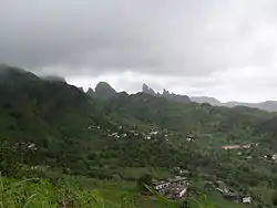 View over the Ribeira de São Domingos, from Água de Gato | |
 | |
| Coordinates: 15°02′02″N 23°34′55″W / 15.034°N 23.582°W | |
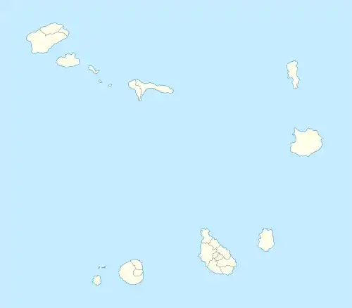
| Country | Cape Verde |
| Island | Santiago |
| Municipality | São Domingos |
| Civil parish | São Nicolau Tolentino |
| Elevation | 400 m (1,300 ft) |
| Population (2010)[1] | |
| • Total | 957 |
| ID | 75202 |
Água de Gato is a settlement in the central part of the island of Santiago, Cape Verde.[2] In 2010 its population was 957.[1] It is situated at about 400 m elevation, 2 km northwest of São Domingos and 2 km east of Rui Vaz.
References
- 1 2 "2010 Census results". Instituto Nacional de Estatística Cabo Verde (in Portuguese). 24 November 2016.
- ↑ Johnson, James E.; Delgado, Orlando J. (October 2003). "Farmer perspectives on agroforestry opportunities and constraints in Cape Verde". Small-scale Forest Economics, Management and Policy. 2 (3): 343–355. doi:10.1007/s11842-003-0024-4. S2CID 13540449.
This article is issued from Wikipedia. The text is licensed under Creative Commons - Attribution - Sharealike. Additional terms may apply for the media files.