| Thordarhyrna | |
|---|---|
 Thordarhyrna | |
| Highest point | |
| Listing | List of volcanoes in Iceland |
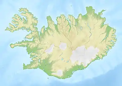
| Coordinates | 64°12′4″N 17°0′17″W / 64.20111°N 17.00472°W |
| Geology | |
| Mountain type | Subglacial volcano |
| Last eruption | 1910 |
Thordarhyrna (Icelandic: Þórðarhyrna [ˈθourðarˌhɪ(r)tna] ⓘ) is one of seven[1] subglacial volcanoes beneath the Vatnajokull glacier in Iceland.
Eruptions
It last erupted in 1910 and prior to that in 1903.[2][3]
An eruption in 3550 BC ± 500 years poured out 150,000,000 cubic meters of lava in the area of Bergvatnsárhraun, to the south of Thordarhyrna.[4]
Geology
There is a mechanical interaction between Thordarhyrna and Grimsvötn, despite these volcanoes being relatively far apart,[6] so the eruption in 1902 - 1904 was combined with an eruption from Grimsvötn and had a Volcanic Explosivity Index (VEI) of 4.[7]
A fault runs (N.35°W) from Thordarhyrna towards Hamarinn, and separates two different tectonic regions.[8]
See also
References
- ↑ "Archived copy" (PDF). Archived from the original (PDF) on 2012-03-09. Retrieved 2011-05-24.
{{cite web}}: CS1 maint: archived copy as title (link) Figure 2.8 shows 7 volcanoes beneath the glacier - ↑ "Eruptions in Iceland during the 20th and the 21st centuries". Archived from the original on 2012-12-21. Retrieved 2011-05-24. Eruptions in Iceland since 1900
- ↑ "Eruptions beneath Vatnajökull". Archived from the original on 2011-05-27. Retrieved 2011-05-27.
- ↑ http://www.volcano.si.edu/world/volcano.cfm?vnum=1703-01=&volpage=erupt
- ↑ http://www.volcano.si.edu/world/volcano.cfm?vnum=1703-01=&volpage=erupt
- ↑ Andrew, Ruth E. B. (20 November 2008). "Elsevier". Journal of Volcanology and Geothermal Research. Volcanic Flows and Falls. 177 (4): 1045–1054. doi:10.1016/j.jvolgeores.2008.07.025.
- ↑ http://www.volcano.si.edu/world/volcano.cfm?vnum=1703-01=&volpage=erupt
- ↑ http://www.igsoc.org/login/?returnto=/annals/8/igs_annals_vol08_year1985_pg11-18.pdf Surface and bedrock topography mapped by radio echo sounding
This article is issued from Wikipedia. The text is licensed under Creative Commons - Attribution - Sharealike. Additional terms may apply for the media files.