'Ayn Fit
عين فيت | |
|---|---|
Village | |
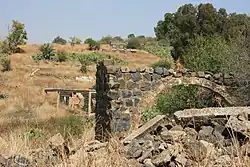 Ruins at 'Ayn Fit | |
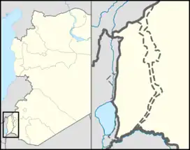 'Ayn Fit 'Ayn Fit in Syria | |
| Coordinates: 33°13′26″N 35°42′15″E / 33.22389°N 35.70417°E | |
| Country | |
| Governorate | Quneitra |
| District | Quneitra |
| Region | Golan Heights |
| Founded | 17th century |
| Destroyed | 1967 |
| Population (1960s) | |
| • Total | 1,500 (estimate) |
'Ayn Fit (Arabic: عين فيت), was a Syrian Alawite village situated in the northwestern Golan Heights.[1][2]
History
'Ayn Fit was established during the early 17th century.[3] The inhabitants were forcibly expelled during the Six Day war and the village was destroyed by Israel.[4] The population before the war was around 1500 people.[3]
See also
References
- ↑ Abu Fakhr, Sakr (2000). "Voices from the Golan". Journal of Palestine Studies. 29 (4): 5–36. doi:10.2307/2676559. JSTOR 2676559.
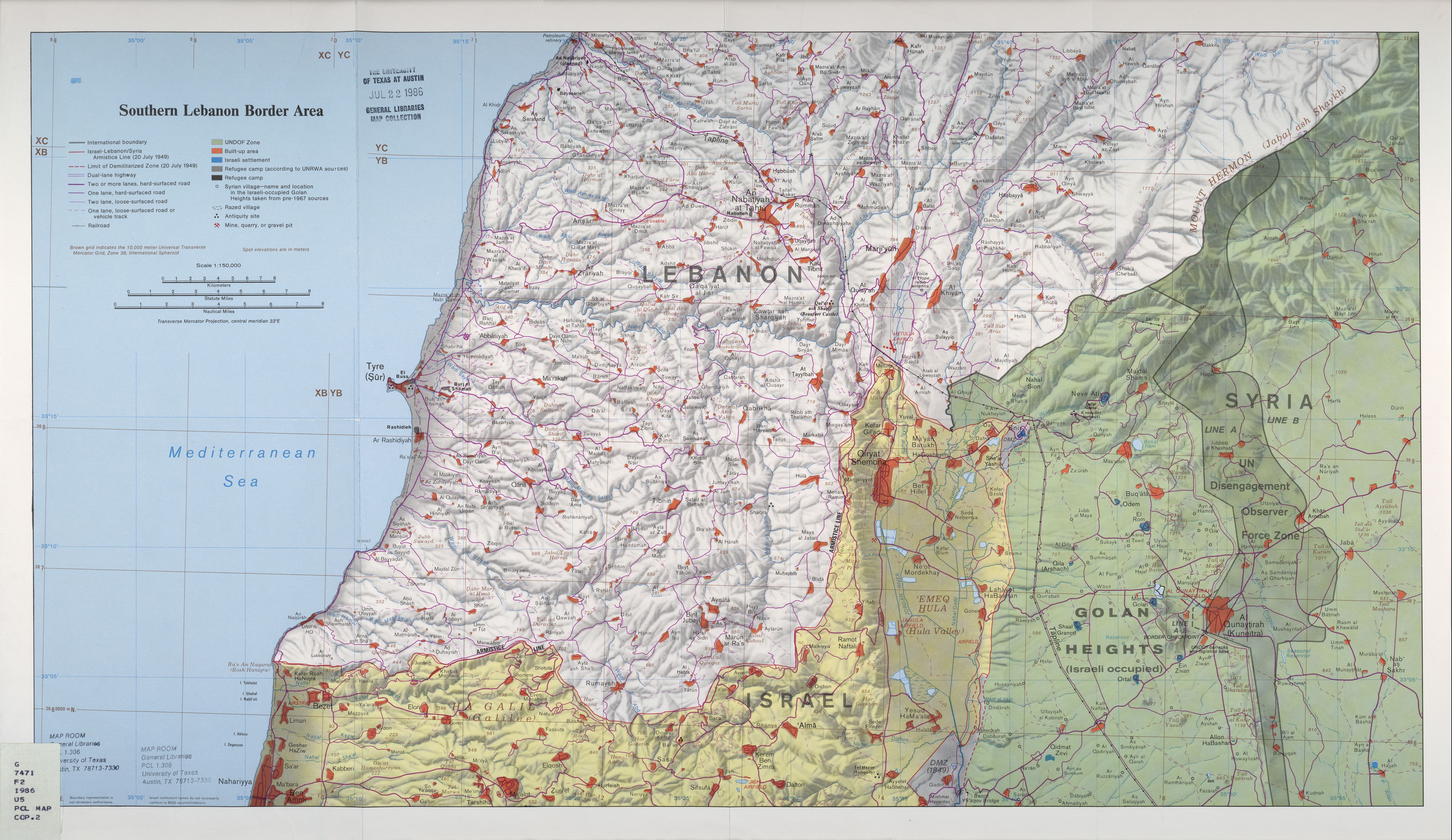
- ↑ Southern Lebanon Border Area 1986 – Map from the University of Texas at Austin general libraries map collection, showing 'Ayn Fit
- 1 2 Eli Ashkenazi (10 May 2023). "Demonstrators protest IDF's plan to destroy heritage site in Golan Heights". The Jerusalem post. Retrieved 20 May 2023.
- ↑ Mason, M.; Eldin, M.F.; Dajani, M. (2022). The Untold Story of the Golan Heights: Occupation, Colonization and Jawlani Resistance. Bloomsbury Publishing. p. 110. ISBN 978-0-7556-4453-7. Retrieved 2023-05-20.
| Quneitra District |
| ||||||||
|---|---|---|---|---|---|---|---|---|---|
| Fiq District |
| ||||||||
| Israeli settlements in the Israeli-occupied Golan Heights |
| ||||||||
| Syrian localities in Israeli-occupied Golan Heights |
| ||||||||
Israeli settlements in italics were on the Mandatory Palestine side of the 1923 border. | |||||||||
This article is issued from Wikipedia. The text is licensed under Creative Commons - Attribution - Sharealike. Additional terms may apply for the media files.