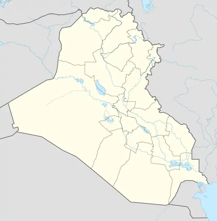
Al-Faris
Arabic: الفارس | |
|---|---|
Town | |
 Al-Faris | |
| Coordinates: 33°50′N 44°14′E / 33.833°N 44.233°E | |
| Country | |
| Governorate | Saladin |
| District | Dujail |
| Time zone | UTC+3 (AST) |
Al-Faris is a Sunni Arab town in Dujail District in the Salah al-Din Governorate in Iraq.
Climate
In Al-Faris, there is a desert climate. Most rain falls in the winter. The Köppen-Geiger climate classification is BWh. The average annual temperature in Al-Faris is 22.7 °C (72.9 °F). About 164 mm (6.46 in) of precipitation falls annually.
| Climate data for Al-Faris | |||||||||||||
|---|---|---|---|---|---|---|---|---|---|---|---|---|---|
| Month | Jan | Feb | Mar | Apr | May | Jun | Jul | Aug | Sep | Oct | Nov | Dec | Year |
| Mean daily maximum °C (°F) | 15.6 (60.1) |
18.2 (64.8) |
22.3 (72.1) |
28.5 (83.3) |
35.7 (96.3) |
41.1 (106.0) |
43.7 (110.7) |
43.4 (110.1) |
39.8 (103.6) |
33.3 (91.9) |
24.5 (76.1) |
17.3 (63.1) |
30.3 (86.5) |
| Mean daily minimum °C (°F) | 4.4 (39.9) |
5.9 (42.6) |
9.3 (48.7) |
14.3 (57.7) |
19.6 (67.3) |
23.4 (74.1) |
25.6 (78.1) |
25.1 (77.2) |
21.4 (70.5) |
16.3 (61.3) |
10.5 (50.9) |
5.6 (42.1) |
15.1 (59.2) |
| Average precipitation mm (inches) | 25 (1.0) |
28 (1.1) |
29 (1.1) |
21 (0.8) |
8 (0.3) |
0 (0) |
0 (0) |
0 (0) |
0 (0) |
4 (0.2) |
19 (0.7) |
30 (1.2) |
164 (6.5) |
| Source: Climate-Data.org,Climate data | |||||||||||||
This article is issued from Wikipedia. The text is licensed under Creative Commons - Attribution - Sharealike. Additional terms may apply for the media files.