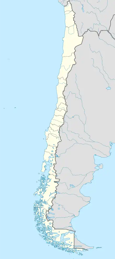
Native name: Isla Aldea | |
|---|---|
 Aldea Island | |
| Geography | |
| Coordinates | 48°44′S 75°07′W / 48.73°S 75.12°W |
| Archipelago | Campana Archipelago |
| Adjacent to | Pacific ocean |
| Area | 202.1 km2 (78.0 sq mi) |
| Coastline | 87.4 km (54.31 mi) |
| Administration | |
| Region | Magallanes |
| Province | Última Esperanza |
| Commune | Puerto Natales |
| Additional information | |
| NGA UFI -871677 | |
Aldea Island is located between the Fallos Channel (continuation of Ladrillero Channel) and South of the Campana Island.
External links
This article is issued from Wikipedia. The text is licensed under Creative Commons - Attribution - Sharealike. Additional terms may apply for the media files.