Apața
Apáca | |
|---|---|
 | |
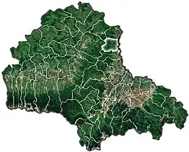
 Location within the county | |
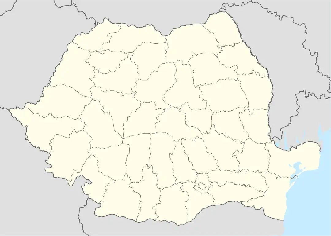
 Apața Location in Romania | |
| Coordinates: 45°57′N 25°31′E / 45.950°N 25.517°E | |
| Country | Romania |
| County | Brașov |
| Government | |
| • Mayor (2020–2024) | György Drăgan[1] (PNL) |
| Area | 54.29 km2 (20.96 sq mi) |
| Elevation | 525 m (1,722 ft) |
| Population (2021-12-01)[2] | 3,275 |
| • Density | 60/km2 (160/sq mi) |
| Time zone | EET/EEST (UTC+2/+3) |
| Postal code | 507005 |
| Vehicle reg. | BV |
| Website | www |
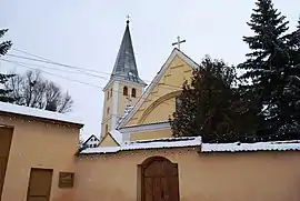
Apața (Hungarian: Apáca; German: Geist) is a commune in Brașov County, Romania. It is composed of a single village, Apața. It is situated in the traditional region of Transylvania.
The commune is located in the north-central part of the county, at the extreme north of the Burzenland. It sits on the left bank of the Olt River; the Valea Lungă River discharges into the Olt near Apața.
The Apața train station serves Line 300 of the CFR network, which connects Bucharest with the Hungarian border near Oradea.
At the 2011 census, 45.1% of inhabitants were Romanians, 36.8% Hungarians and 17.9% Roma. At the 2002 census, 37.8% were Evangelical Lutheran, 36.4% Pentecostal, 20.1% Romanian Orthodox and 2.4% had no religion.
Natives
References
- ↑ "Results of the 2020 local elections". Central Electoral Bureau. Retrieved 9 June 2021.
- ↑ "Populaţia rezidentă după grupa de vârstă, pe județe și municipii, orașe, comune, la 1 decembrie 2021" (XLS). National Institute of Statistics.
This article is issued from Wikipedia. The text is licensed under Creative Commons - Attribution - Sharealike. Additional terms may apply for the media files.
