| Arbach | |
|---|---|
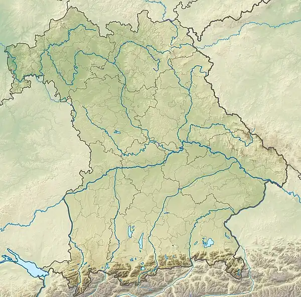
 Location of mouth in Bavaria | |
| Location | |
| Country | Germany |
| State | Bavaria |
| Physical characteristics | |
| Mouth | |
• location | Swabian Rezat |
• coordinates | 49°06′18″N 10°59′15″E / 49.1049°N 10.9876°E |
| Basin features | |
| Progression | Swabian Rezat→ Rednitz→ Regnitz→ Main→ Rhine→ North Sea |
| Tributaries | |
| • right | Arbachgraben |
Arbach is a river of Bavaria, Germany. It is a right tributary of the Swabian Rezat near Pleinfeld in the Middle Franconian district Weißenburg-Gunzenhausen.
The Arbach rises at an altitude of 462 m (1,516 ft) above sea level at Walting in Pleinfeld and feeds there the pond Bachweiher. To the north-east of the wood field sector Totenleite, it is fed on its right side by the Arbachgraben, which is coming from the north from Kreisstraße WUG 16 . It flows further north along the Celtic Viereckschanze and then south of the hill Weingartner Berg (467 m (1,532 ft) above sea level) and finally flows at a height of 373 m (1,224 ft) above sea level in Pleinfeld, north of the street Zollgasse, from the right into the Swabian Rezat.
See also
This article is issued from Wikipedia. The text is licensed under Creative Commons - Attribution - Sharealike. Additional terms may apply for the media files.