| Beaver Creek | |
|---|---|
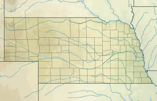 Location of the mouth within Nebraska  Beaver Creek (Sappa Creek tributary) (the United States) | |
| Location | |
| Country | United States |
| States | Kansas, Nebraska |
| Counties | Sherman, Cheyenne, Rawlins, Decatur, Red Willow, Furnas |
| Physical characteristics | |
| Source | Middle Beaver Creek |
| • location | South-southwest of Burlington, Colorado |
| • coordinates | 39°10′26″N 102°20′04″W / 39.1738879°N 102.3343572°W[1] |
| 2nd source | South Beaver Creek |
| • location | Southeast of Burlington, Colorado |
| • coordinates | 39°14′21″N 102°04′17″W / 39.2391669°N 102.0712932°W[2] |
| Source confluence | |
| • location | North-northeast of Goodland, Kansas |
| • coordinates | 39°26′36″N 101°41′16″W / 39.4433313°N 101.6876716°W[3] |
| • elevation | 3,501 ft (1,067 m)[1][2] |
| Mouth | Sappa Creek |
• location | West of Orleans, Nebraska |
• coordinates | 40°07′16″N 99°38′36″W / 40.1211197°N 99.6434446°W[3] |
• elevation | 2,018 ft (615 m)[3] |
| Basin features | |
| Progression | Beaver Creek → Sappa Creek → Republican River → Kansas River → Missouri River → Mississippi River → Gulf of Mexico |
| Tributaries | |
| • left | Little Beaver Creek |
Beaver Creek is a river in the states of Kansas and Nebraska. It begins north-northeast of Goodland, Kansas and flows into Sappa Creek West of Orleans, Nebraska.
History
On June 28, 1989, roughly 9 inches (23 cm) of rain fell in Sherman and Cheyenne counties in Kansas. KDOT had to close a 0.5-mile (0.80 km) section of K-117 by Herndon due to high water from the Beaver River flooding.[4]
References
- 1 2 "Middle Beaver Creek". Geographic Names Information System. United States Geological Survey, United States Department of the Interior. Retrieved August 29, 2021.
- 1 2 "South Beaver Creek". Geographic Names Information System. United States Geological Survey, United States Department of the Interior. Retrieved August 29, 2021.
- 1 2 3 "Beaver Creek". Geographic Names Information System. United States Geological Survey, United States Department of the Interior. Retrieved August 29, 2021.
- ↑ "Flood destroys crops, roads near Herndon". The Salina Journal. Salina, KS. June 28, 1989. p. 7. Archived from the original on August 1, 2021. Retrieved March 10, 2021 – via Newspapers.com.
This article is issued from Wikipedia. The text is licensed under Creative Commons - Attribution - Sharealike. Additional terms may apply for the media files.