32°41′07.8″N 74°19′17.5″E / 32.685500°N 74.321528°E
Bhagowal Kalan
بھاگووال کلاں | |
|---|---|
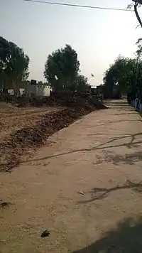 A view from the village | |
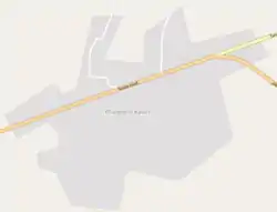 Map of Bhagowal Kalan | |
| Country | |
| Province | Punjab |
| District | Gujrat |
| Time zone | UTC+5 (PST) |
| Calling code | 053 |
Bhagowal Kalan (Urdu: بھاگووال کلاں) is a village located alongside the Tanda road in Gujrat District, Punjab, Pakistan. It was the head of Jagir state ruled by Kahlon Jats.
This article is issued from Wikipedia. The text is licensed under Creative Commons - Attribution - Sharealike. Additional terms may apply for the media files.