Bijnor | |
|---|---|
 View of Bijnor railway station in Bijnor, UP | |
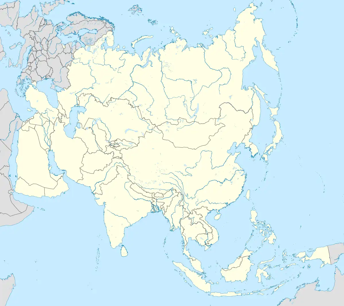
 Bijnor Location in Uttar Pradesh  Bijnor Bijnor (India)  Bijnor Bijnor (Asia) | |
| Coordinates: 29°22′N 78°08′E / 29.37°N 78.13°E | |
| Country | |
| State | Uttar Pradesh |
| District | Bijnor |
| Government | |
| • MLA | Suchi (BJP) |
| Elevation | 225 m (738 ft) |
| Population (2011) | |
| • Total | 115,381 |
| Language | |
| • Official | Hindi[1] |
| • Additional official | Urdu[1] |
| Time zone | UTC+5:30 (IST) |
| Vehicle registration | UP-20 |
| Website | www |
Bijnor is a city and a municipal board in Bijnor district in the state of Uttar Pradesh, India[2]
History
Indus Valley Civilization
Alamgirpur, also called "Parasaram ka khera", is an archaeological site of the Indus Valley Civilization that thrived along Yamuna River (c. 3300–1300 BC) from the Harappan-Bara period, located in Meerut district, Uttar Pradesh, India.[3][4] It is the easternmost site of the civilization. It was partially excavated in 1958 and 1959 by Archaeological Survey of India, that found four cultural periods with intervening breaks; the earliest of them represented by a thickness of 6 feet, belonged to Harappan Culture. Although kiln burnt bricks were in evidence, no structure of this period was found, probably due to the limited nature of the excavations. Brick sizes were, 11.25 to 11.75 in. in length,5.25 to 6.25 in. in breadth and 2.5 to 2.75 in. in thickness; larger bricks averaged 14 in. x 8 in.x 4 in. which were used in furnace only.[4] Typical Harappan pottery was found and the complex itself appeared to be a pottery workshop. Ceramic items found included roof tiles, dishes, cups, vases, cubical dice, beads, terracotta cakes, carts and figurines of a humped bull and a snake.[4] There were also beads and possibly ear studs made of steatite paste, faience, glass, carnelian, quartz, agate and black jasper. Little metal was in evidence. However, a broken blade made of copper was found.[5]
Medieval history
King Bijli Pasi is credited as the founder of the city of Bijnor in Uttar Pradesh. Pasi consolidated his position when northern India was divided into several small states, before the fall of the mighty empires of the past.[6]
During the time of Akbar, Bijnor was part of his Mughal Empire. During the early 18th century, the Rohilla Pashtuns established their independence in the area called by the Rohilkhand. Around 1748, the Rohilla chief Ali Mohammed Khan made his first annexations in Bijnor, the rest of which soon fell under the Rohilla domination. The northern districts were granted by Ali Mohammed Khan to Khurshid Ahmed Baig, who gradually extended his influence west of the Ganges and at Delhi, receiving the title of Najib-ud-daula with the position of the paymaster of the Mughal forces. Marathas invaded Bijnor who was also instigated by enemies of Rohillas, leading to several battles. Rohilla chief, Najib, who sided with Ahmad Shah Abdali in Panipat, was made vizier of the empire.[7]
Climate
| Climate data for Bijnor, Uttar Pradesh | |||||||||||||
|---|---|---|---|---|---|---|---|---|---|---|---|---|---|
| Month | Jan | Feb | Mar | Apr | May | Jun | Jul | Aug | Sep | Oct | Nov | Dec | Year |
| Mean daily maximum °C (°F) | 20.8 (69.4) |
23.7 (74.7) |
29.6 (85.3) |
35.9 (96.6) |
39.5 (103.1) |
38.7 (101.7) |
34.4 (93.9) |
33.4 (92.1) |
33.6 (92.5) |
32.6 (90.7) |
27.9 (82.2) |
22.5 (72.5) |
31.1 (88.0) |
| Daily mean °C (°F) | 13.7 (56.7) |
16.5 (61.7) |
21.9 (71.4) |
28.0 (82.4) |
31.9 (89.4) |
32.8 (91.0) |
30.2 (86.4) |
29.5 (85.1) |
28.8 (83.8) |
25.6 (78.1) |
20.0 (68.0) |
15.1 (59.2) |
24.5 (76.1) |
| Mean daily minimum °C (°F) | 6.7 (44.1) |
9.3 (48.7) |
14.2 (57.6) |
20.1 (68.2) |
24.4 (75.9) |
26.9 (80.4) |
26.1 (79.0) |
25.5 (77.9) |
24 (75) |
18.7 (65.7) |
12.2 (54.0) |
7.6 (45.7) |
18.0 (64.4) |
| Average precipitation mm (inches) | 21.9 (0.86) |
18.6 (0.73) |
14.0 (0.55) |
9.3 (0.37) |
17.2 (0.68) |
81.8 (3.22) |
243.0 (9.57) |
267.4 (10.53) |
136.3 (5.37) |
18.9 (0.74) |
5.1 (0.20) |
7.9 (0.31) |
841.3 (33.12) |
| Average precipitation days | 1.8 | 1.5 | 1.4 | 1.1 | 1.4 | 3.3 | 8.8 | 9.4 | 4.1 | 1.2 | 0.6 | 0.9 | 35.5 |
| Source: Weatherbase[8] | |||||||||||||
Demographics
| Year | Pop. | ±% |
|---|---|---|
| 1901 | 17,583 | — |
| 1911 | 17,439 | −0.8% |
| 1921 | 18,095 | +3.8% |
| 1931 | 23,520 | +30.0% |
| 1941 | 27,900 | +18.6% |
| 1951 | 30,646 | +9.8% |
| 1961 | 33,821 | +10.4% |
| 1971 | 43,290 | +28.0% |
| 1981 | 56,713 | +31.0% |
| 1991 | 66,486 | +17.2% |
| 2001 | 79,346 | +19.3% |
| 2011 | 93,297 | +17.6% |
| Source: [9]: 754–756 | ||
As per 2011 census, Bijnor urban agglomeration had a population of 115,381 out of which males were 60,656 and females were 54,725. The effective literacy rate (7+ population) was 77.90 per cent.[10]
Government and politics
Bijnor district administration is headed by the district magistrate and collector (DM) of Bijnor, an IAS officer, who reports to the divisional commissioner of Moradabad. The DM is in charge of property records and revenue collection for the central government and oversees the elections held in the city. He is also responsible for maintaining law and order in the city.[11][12][13][14] The DM is assisted by two additional district magistrates and several other officers.[15]
Bijnor district comes under the Bareilly Police Zone and Moradabad Police Range. The district police is headed by a superintendent of police (SP), who is an IPS officer, and is assisted by two additional superintendents of police for city and east from the Provincial Police Service.[16] Each of the several police circles is headed by a circle officer in the rank of deputy superintendent of police.[16]
Bijnor has a District Court under the High Court of Judicature of Allahabad.[17] The court is headed by the district judge of Bijnor, who is assisted by numerous additional district judges, civil judges and additional civil judges.
In popular culture
- The Hindi TV show, Yahan Ke Hum Sikandar was set in Bijnor.[18]
Notable people
- Asaf Ali, freedom fighter and first ambassador to USA
- Abdur Rahman Bijnori, Indian Urdu poet and scholar
- Marghubur Rahman, vice chancellor of Darul Uloom Deoband
See also
References
- 1 2 "52nd Report of the Commissioner for Linguistic Minorities in India" (PDF). nclm.nic.in. Ministry of Minority Affairs. Archived from the original (PDF) on 25 May 2017. Retrieved 21 December 2018.
- ↑ UP seeks to include 6 districts in NCR, Indian Express.
- ↑ Ghosh, Amalananda (1991). An Encyclopedia of Indian Archaeology. Brill Academic Publishers. ISBN 978-9-00409-264-8.
- 1 2 3 Amalananda Ghosh (ed.). "Excavations at Alamgirpur". Indian Archaeology, A Review (1958-1959). Delhi: Archaeological Survey of India. pp. 51–52.
- ↑ Singh, Upinder (2008). A history of ancient and early medieval India: from the Stone Age to the 12th century. New Delhi: Pearson Education. p. 214. ISBN 9788131711200.
- ↑ Gupta, Dipankar (8 December 2004). Caste in Question: Identity Or Hierarchy?. SAGE Publications. p. 208. ISBN 978-0-7619-3324-3.
- ↑ One or more of the preceding sentences incorporates text from a publication now in the public domain: Chisholm, Hugh, ed. (1911). "Bijnor". Encyclopædia Britannica. Vol. 3 (11th ed.). Cambridge University Press. pp. 928–929.
- ↑ "Bijnor, India Travel Weather Averages (Weatherbase)". Weatherbase.
- ↑ District Census Handbook Bijnor Part-A (PDF). Lucknow: Directorate of Census Operations, Uttar Pradesh.
- ↑ "Urban Agglomerations/Cities having population 1 lakh and above" (PDF). Provisional Population Totals, Census of India 2011. Retrieved 7 July 2012.
- ↑ "CONSTITUTIONAL SETUP". Government of Uttar Pradesh. Archived from the original on 31 August 2017. Retrieved 30 August 2017.
- ↑ Maheshwari, S.R. (2000). Indian Administration (6th ed.). New Delhi: Orient Blackswan Private Ltd. pp. 573–597. ISBN 9788125019886.
- ↑ Laxmikanth, M. (2014). Governance in India (2nd ed.). Noida: McGraw Hill Education. pp. 6.1–6.6. ISBN 978-9339204785.
- ↑ Singh, G.P. (1993). Revenue administration in India: A case study of Bihar. Delhi: Mittal Publications. pp. 50–124. ISBN 978-8170993810.
- ↑ "Collectrate | Bijnor | India". Retrieved 26 October 2021.
- 1 2 "Officers posted at Bijnor". Uttar Pradesh Police. Retrieved 26 October 2021.
- ↑ "District & Outlying Courts of Uttar Pradesh, India". www.allahabadhighcourt.in. Retrieved 26 October 2021.
- ↑ "Yahan Ke Hum Sikandar". in.com. Archived from the original on 21 July 2017. Retrieved 21 July 2017.