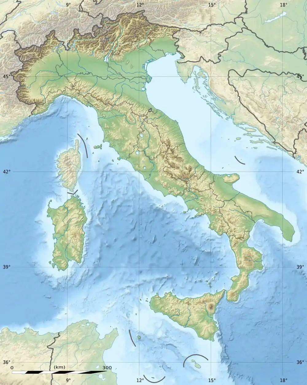
| Birkenkofel | |
|---|---|
 | |
| Highest point | |
| Elevation | 2,922 m (9,587 ft) |
| Prominence | 391 m (1,283 ft) |
| Coordinates | 46°40′53″N 12°15′19″E / 46.68139°N 12.25528°E |
| Geography | |
 Birkenkofel | |
| Parent range | Sexten Dolomites |
| Climbing | |
| First ascent | 17 July 1880 by Ludwig Grünwald and Santo Siorpaes |
The Birkenkofel (Italian: Croda dei Baranci; German: Birkenkofel) is a mountain in the Sexten Dolomites in South Tyrol, Italy.
References
- Richard Goedecke, Alpenvereinsführer Sextener Dolomiten, Bergverlag Rudolf Rother, München 1988, ISBN 3-7633-1255-2
- Tabacco-Verlag, Carta topografica 1.25.000, Blatt 010, Sextener Dolomiten
External links
![]() Media related to Birkenkofel at Wikimedia Commons
Media related to Birkenkofel at Wikimedia Commons
This article is issued from Wikipedia. The text is licensed under Creative Commons - Attribution - Sharealike. Additional terms may apply for the media files.