| Brogberg | |
|---|---|
 Brogberg | |
| Highest point | |
| Elevation | 567 m above sea level (NN) (1,860 ft) |
| Coordinates | 49°19′51″N 7°53′46″E / 49.33083°N 7.89611°E |
| Geography | |
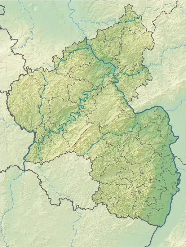
| Location | Bad Dürkheim, Rhineland-Palatinate, |
| Parent range | Pfälzerwald |
The Brogberg is a hill, 567 metres high, in the Palatine Forest in Germany. It is located west of Iggelbach, a village in the municipality of Elmstein. Northeast of the hill rises the Iggelbach stream, a left tributary of the Helmbach. The Brogberg lies entirely within the territory of the municipality of Elmstein.
Maps
- Topographic map, 1:50,000 series, issued by the State Survey Office of Rhineland-Palatinate (Landesvermessungsamt Rheinland-Pfalz), 1993
- Brogberg in the landscape information system of the Rhineland-Palatinate Conservation Authority (Naturschutzverwaltung Rheinland-Pfalz)
This article is issued from Wikipedia. The text is licensed under Creative Commons - Attribution - Sharealike. Additional terms may apply for the media files.