| Cape May Point State Park | |
|---|---|
 | |
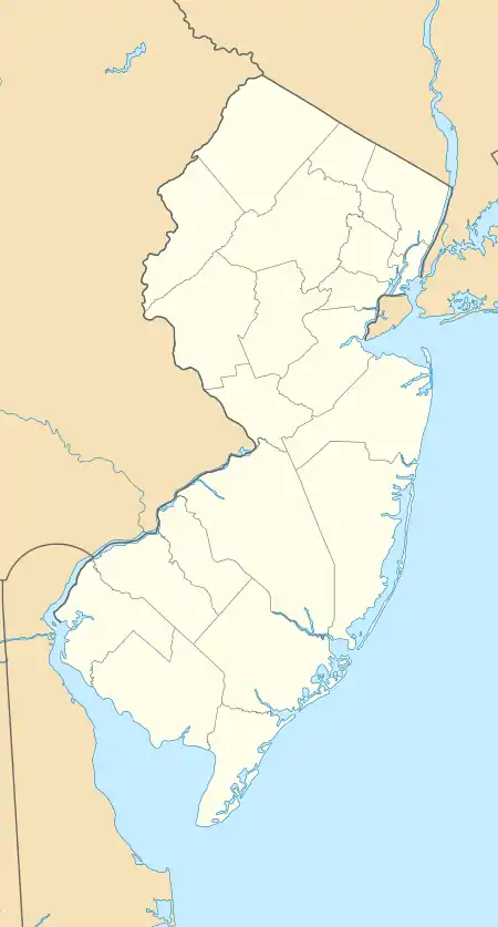
 Location in New Jersey  Location in United States | |
| Location | Lower Township |
| Coordinates | 38°55′59.35″N 74°57′39.33″W / 38.9331528°N 74.9609250°W[1] |
| Area | 244 acres (0.99 km2) |
| Website | Official website |
Cape May Point State Park is a 244 acres (0.99 km2) state park located in Lower Township, New Jersey,[2] with a Cape May Point postal address.[3] The park offers walking, hiking and nature trails as well as beaches, an exhibit gallery, a ranger office and is the site of the Cape May Light.[4] The park is operated and maintained by the New Jersey Division of Parks and Forestry.
Birding
Cape May Point State Park is considered to be one of the best places in North America to view the Fall bird migration to the south.[5] Because of this, birding is one of the most prominent activities conducted at the park.
Every fall, visitors converge from across the country to witness the migration of most types of North American migratory birds in great numbers. Every year the a hawk watch is also held, in which the numbers of various types of migratory birds of prey are counted during a several month period.
Birds can be seen in the Park at three areas. These are the hawk watching platform (for hawks), the nature and hiking trails (for songbirds) and the beach (shorebirds). For the most part, birds of many varieties can be seen at all of these areas year round.
Trails

The park has three hiking trails, each designated by a color.[3] All three start and end at the parking lot. The Red trail, a boardwalk trail which is wheelchair accessible, is 0.5 mi (0.80 km) long. It has several observation platforms. The Yellow trail is 1.5 mi (2.4 km) long[3] and is part boardwalk and part dirt. It begins from the red trail and has one additional birding platform. The Blue trail, closed for a long time due to hurricane damage in the 1960s, reopened again in the 1990s. It is 2.0 mi (3.2 km) long, part of which is on the beach.[3]
Gun emplacements
During World War I and World War II the park was the Cape May Military Reservation. Remnants of a gun battery, part of the Harbor Defenses of the Delaware, can be seen today.

A 6-inch gun was mounted near the former Coast Guard station in World War I, but the emplacement has been demolished. Three batteries were in the park area in World War II. These were Battery 223 with two 6-inch guns on shielded mounts, with an ammunition and fire control bunker between them, Battery 25 with four towed 155 mm guns on concrete Panama mounts, and Anti-Motor Torpedo Boat battery (AMTB) 7, with four 90 mm guns, two on fixed mounts and two on towed mounts. Only the bunker for Battery 223 remains visible, stripped of its original earth cover. A beach restoration project in 2005 covered the remains of the other emplacements.[6][7][8]
See also
References
- ↑ https://www.njparksandforests.org/parks/capemaypointstatepark.html
- ↑ Degener, Richard. "New Lower Township police cars roll in black and white", The Press of Atlantic City, May 22, 2009. Accessed July 3, 2011. Article info and Image caption - Quote: "The department on Thursday unveiled its new emblem featuring a picture of the Cape May Lighthouse, which is located next to Cape May Point State Park, and, like the park itself, is actually in Lower Township."
- 1 2 3 4 "Cape May Point State Park". New Jersey Department of Environmental Protection. Retrieved July 23, 2010.
- ↑ Cape May Point State Park Programs, New Jersey Department of Environmental Protection. Accessed December 24, 2019. "Cape May Point State Park in Cape May County is comprised of 190 acres of fresh water wetlands adjacent to the ocean. Situated on New Jersey's southern tip, the park features over 2 miles of nature trails (one half-mile section on raised boardwalk), a World War II bunker and two gun mounts built to protect the Delaware Bay, a historic lighthouse built in 1859 and maintained by the Mid-Atlantic Center for the Arts, and a Kid-Friendly, home-made museum with displays about erosion, seashore life, the Lenni-Lenape Indians, Cape May County, fresh water wetlands, and a salt-water aquarium."
- ↑ "Cape May Birding Places: Cape May Point State Park". www.capemaytimes.com. Retrieved May 31, 2018.
- ↑ Cape May Military Reservation at American Forts Network
- ↑ Cape May Military Reservation at FortWiki.com
- ↑ Berhow, Mark A., ed. (2015). American Seacoast Defenses, A Reference Guide (Third ed.). McLean, Virginia: CDSG Press. p. 211. ISBN 978-0-9748167-3-9.
External links
- Migrating birds along the New Jersey shore