| Carp River | |
|---|---|
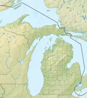
 Location within the state of Michigan | |
| Location | |
| Country | United States |
| Physical characteristics | |
| Source | |
| • location | Michigan |
| Mouth | |
• location | 46°44′55″N 85°16′13″W / 46.74861°N 85.27028°W |
The Carp River is a 1.2-mile-long (1.9 km)[1] stream in the northeast corner of Luce County on the Upper Peninsula of Michigan in the United States. It flows west from the outlet of Browns Lake, to its mouth on Lake Superior.
See also
References
- ↑ U.S. Geological Survey. National Hydrography Dataset high-resolution flowline data. The National Map Archived 2012-03-29 at the Wayback Machine, accessed January 3, 2012
This article is issued from Wikipedia. The text is licensed under Creative Commons - Attribution - Sharealike. Additional terms may apply for the media files.