Cerezo de Arriba | |
|---|---|
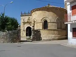 Church of St. John | |
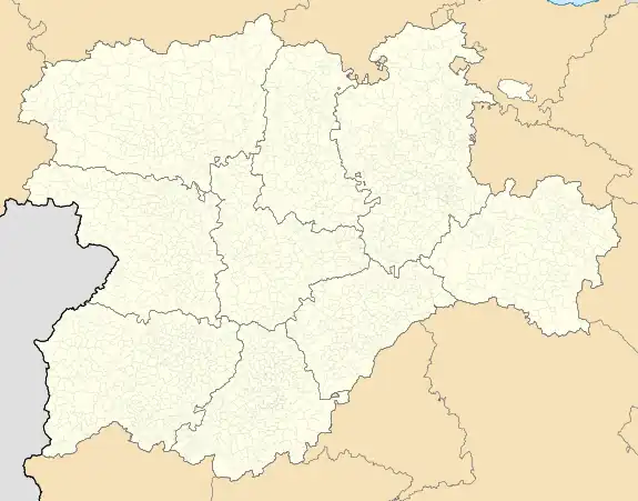 Cerezo de Arriba Location in Spain.  Cerezo de Arriba Cerezo de Arriba (Spain) | |
| Coordinates: 41°14′16″N 3°33′27″W / 41.23778°N 3.55750°W | |
| Country | |
| Autonomous community | |
| Province | |
| Comarca | Comunidad de Villa y Tierra de Sepúlveda |
| Government | |
| • Mayor | Félix Pérez Adrados |
| Area | |
| • Total | 48.66 km2 (18.79 sq mi) |
| Elevation | 1,129 m (3,704 ft) |
| Population (2018)[1] | |
| • Total | 138 |
| • Density | 2.8/km2 (7.3/sq mi) |
| Demonym | Cerezanos |
| Time zone | UTC+1 (CET) |
| • Summer (DST) | UTC+2 (CEST) |
| Website | Official website |
Cerezo de Arriba is a municipality located in the province of Segovia, Castile and León, Spain. La Pinilla is a ski area located in Cerezo de Arriba.
See also
References
- ↑ Municipal Register of Spain 2018. National Statistics Institute.
This article is issued from Wikipedia. The text is licensed under Creative Commons - Attribution - Sharealike. Additional terms may apply for the media files.