| Ch'api Qullu | |
|---|---|
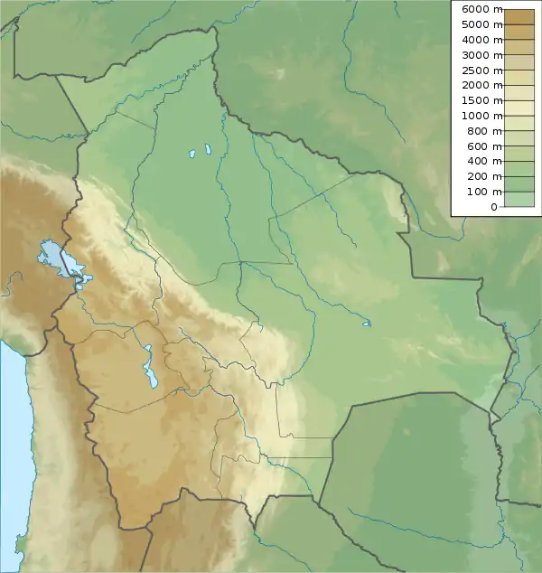 Ch'api Qullu Location in Bolivia | |
| Highest point | |
| Elevation | 3,917 m (12,851 ft)[1] |
| Prominence | 350 m (1,150 ft) |
| Coordinates | 20°06′S 68°14′W / 20.100°S 68.233°W[2] |
| Geography | |
| Location | Bolivia, Potosí Department, Daniel Campos Province, Llica Municipality |
| Parent range | Andes, Cordillera Occidental |
Ch'api Qullu (Aymara ch'api thorn, qullu mountain,[3]"thorn mountain", hispanicized spelling Chapi Kkollu) is a mountain in the Bolivian Cordillera Occidental situated on the western shore of the Uyuni salt pan. It is approximately 3,917 m high reaching a prominence of about 350 m. The mountain is located near the village of Canquella in the Potosí Department, Daniel Campos Province, Llica Municipality.[4]
See also
References
- ↑ mapcarta.com
- ↑ getamap.net
- ↑ Radio San Gabriel, "Instituto Radiofonico de Promoción Aymara" (IRPA) 1993, Republicado por Instituto de las Lenguas y Literaturas Andinas-Amazónicas (ILLLA-A) 2011, Transcripción del Vocabulario de la Lengua Aymara, P. Ludovico Bertonio 1612 (Spanish-Aymara-Aymara-Spanish dictionary)
- ↑ Llica Municipality: Population data and map Archived 2014-10-14 at the Wayback Machine
This article is issued from Wikipedia. The text is licensed under Creative Commons - Attribution - Sharealike. Additional terms may apply for the media files.