| Ch'iyar Quta | |
|---|---|
 Ch'iyar Quta (Oruro)  Ch'iyar Quta (Oruro) | |
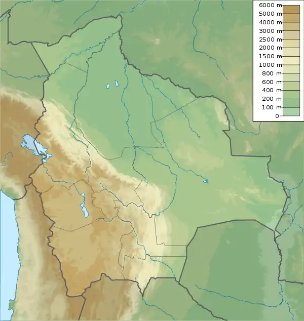
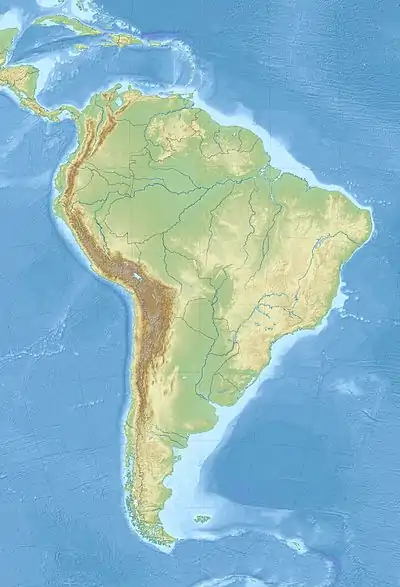
| Location | Bolivia, Oruro Department, Sajama Province |
| Coordinates | 18°2′59″S 69°3′3″W / 18.04972°S 69.05083°W |
| Surface elevation | 5,090 m (16,700 ft) |

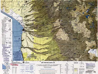
Area topographic map.
Ch'iyar Quta (Aymara ch'iyara black, quta lake,[1] "black lake", hispanicized spellings Chiar Kkota[2][3] and erroneously also Chiar Kkola) is a small Bolivian lake located in the Sajama Province of the Oruro Department near the border to Chile. It is situated at a height of about 5,090 meters (16,700 feet) inside the boundaries of the Sajama National Park.[4] Ch'iyar Quta lies south-east of the peaks of Laram Q'awa, Milluni and Kunturiri, south-west of Jisk'a Kunturiri and north of Patilla Pata.[5]
See also
References
- ↑ Radio San Gabriel, "Instituto Radiofonico de Promoción Aymara" (IRPA) 1993, Republicado por Instituto de las Lenguas y Literaturas Andinas-Amazónicas (ILLLA-A) 2011, Transcripción del Vocabulario de la Lengua Aymara, P. Ludovico Bertonio 1612 (Spanish-Aymara-Aymara-Spanish dictionary)
- ↑ Curahuara de Carangas Municipality: population data and map Archived 2014-11-11 at the Wayback Machine
- ↑ upload.wikimedia.org/
- ↑ lib.icimod.org Archived 2014-03-09 at the Wayback Machine Dirk Hoffmann, The Sajama National Park in Bolivia, Mountain Research and Development Vol 27 No 1 February 2007 (see map on p. 12)
- ↑ BIGM map 1:50,000 Nevados Payachata Hoja 5739-I
This article is issued from Wikipedia. The text is licensed under Creative Commons - Attribution - Sharealike. Additional terms may apply for the media files.