Chhatarpura | |
|---|---|
Village | |
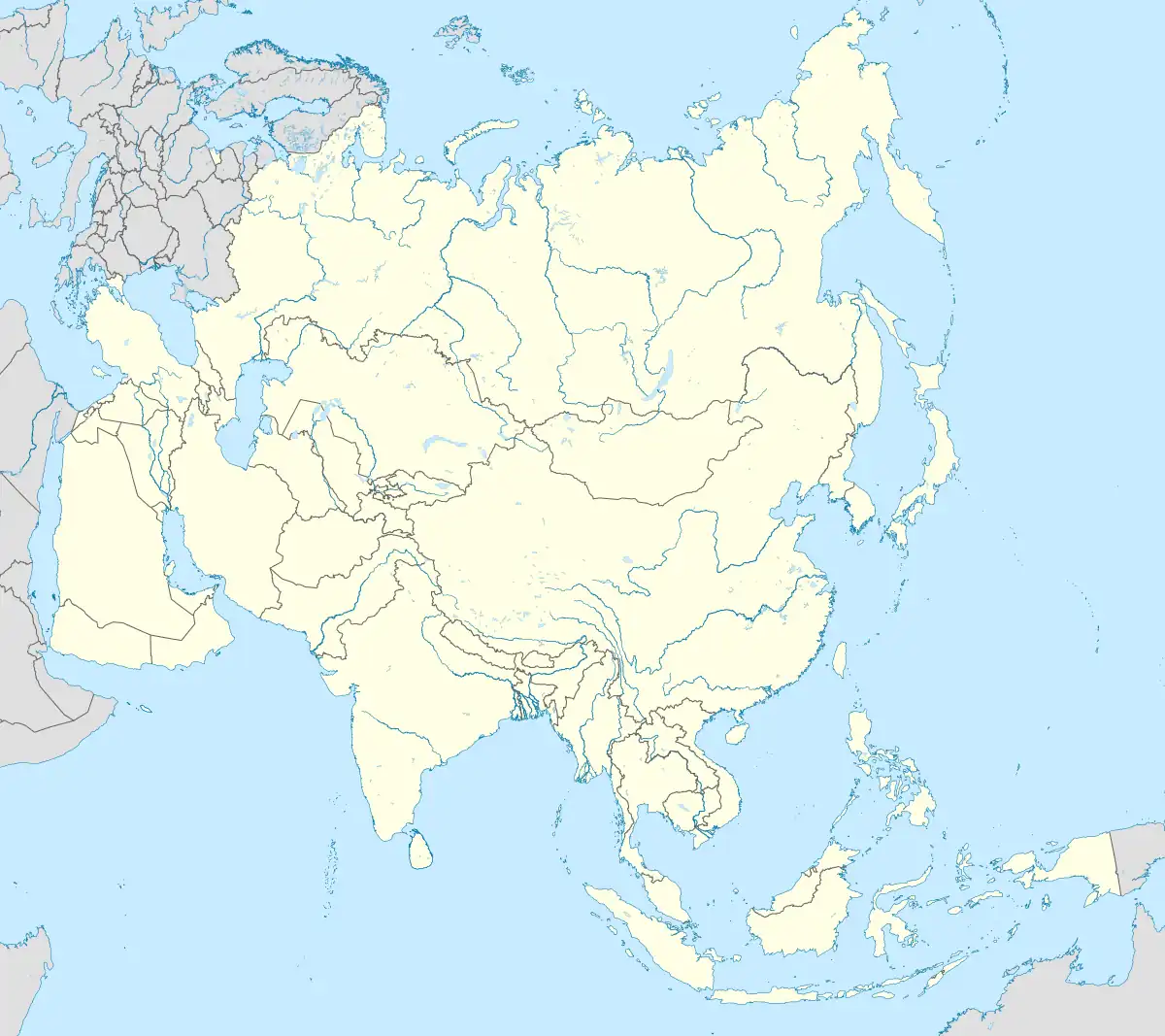
 Chhatarpura Location in Bihar, India  Chhatarpura Chhatarpura (India)  Chhatarpura Chhatarpura (Asia) | |
| Coordinates: 25°14′36.5″N 84°32′4.1″E / 25.243472°N 84.534472°E | |
| Country | |
| State | Bihar |
| District | Bhojpur |
| Government | |
| • Type | Panchayati raj (India) |
| • Body | Gram panchayat |
| Area | |
| • Total | 505.5 km2 (195.2 sq mi) |
| Population (2011)[1] | |
| • Total | 1,524 |
| • Density | 3.0/km2 (7.8/sq mi) |
| Language | |
| • Official | Hindi[2] |
| • Additional official | Urdu[2] |
| Time zone | UTC+5:30 (IST) |
| ISO 3166 code | IN-BR |
Chhatarpura is a village in Sahar block of Bhojpur district, Bihar, India.
Demographics
As of 2011 Indian Census, Chhatarpura had a total population of 1,524, of which 760 were males and 764 were females. Population within the age group of 0 to 6 years was 285. The total number of literates were 851 (55.8%), with 494 (65%) males and 357 (46.7%) females. However, the effective literacy rate of 7+ age population was 68.7%. The Scheduled Castes population was 288, of which males were 143 and females 145. Chhatarpura had 260 households in 2011.[1]
Transportation
Taxi service is available in the village. Bus service available within 2 km.
Nearby towns
References
- 1 2 "Census of India: Chhatarpura". www.censusindia.gov.in. Retrieved 9 October 2019.
- 1 2 "52nd Report of the Commissioner for Linguistic Minorities in India" (PDF). nclm.nic.in. Ministry of Minority Affairs. Archived from the original (PDF) on 25 May 2017. Retrieved 27 May 2019.
This article is issued from Wikipedia. The text is licensed under Creative Commons - Attribution - Sharealike. Additional terms may apply for the media files.