| Childs Glacier | |
|---|---|
 Location of Childs Glacier in Antarctica | |
| Location | Queen Elizabeth Land |
| Coordinates | 83°24′S 58°40′W / 83.400°S 58.667°W |
| Thickness | unknown |
| Terminus | Foundation Ice Stream |
| Status | unknown |
Childs Glacier (83°24′S 58°40′W / 83.400°S 58.667°W) is a glacier in the Neptune Range of the Pensacola Mountains, draining westward from Roderick Valley to enter Foundation Ice Stream. It was mapped by the United States Geological Survey from surveys and from U.S. Navy air photos, 1956–66, and named by the Advisory Committee on Antarctic Names for John H. Childs, a builder at Ellsworth Station, winter 1958.
 Childs Glacier, date unknown, before 1936
.jpg.webp) Childs Glacier, between 1901 and 1911
Childs Glacier, between 1901 and 1911.jpg.webp) Childs Glacier calving, ca. 1913
Childs Glacier calving, ca. 1913.jpg.webp) Childs Glacier, 1916
Childs Glacier, 1916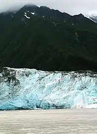 Childs Glacier calving, 2006
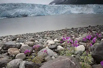 Childs Glacier, 2006
See also
References
 This article incorporates public domain material from "Childs Glacier". Geographic Names Information System. United States Geological Survey.
This article is issued from Wikipedia. The text is licensed under Creative Commons - Attribution - Sharealike. Additional terms may apply for the media files.