| Chullpa Q'asa | |
|---|---|
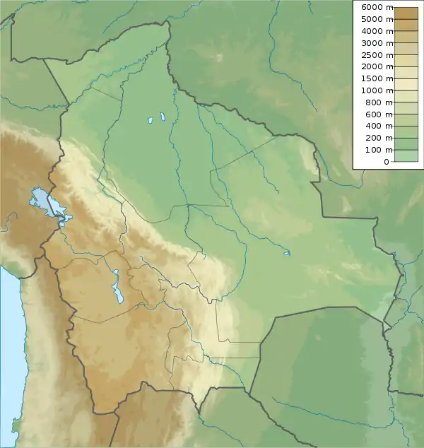 Chullpa Q'asa Location within Bolivia | |
| Highest point | |
| Elevation | 2,826 m (9,272 ft)[1] |
| Coordinates | 17°55′54″S 65°47′46″W / 17.93167°S 65.79611°W |
| Geography | |
| Location | Bolivia, Cochabamba Department |
| Parent range | Andes |
Chullpa Q'asa (Quechua chullpa stone tomb, burial tower, q'asa mountain pass,[2] "chullpa pass", also spelled Chullpa Khasa) is a 2,826-metre-high (9,272 ft) mountain in the Bolivian Andes. It is located in the Cochabamba Department, Mizque Province, Vila Vila Municipality. Chullpa Q'asa lies southwest of Jatun Urqu.[1][3]
References
- 1 2 Bolivia 1:100,000 Punata 3735
- ↑ Teofilo Laime Ajacopa (2007). Diccionario Bilingüe: Iskay simipi yuyayk’anch: Quechua – Castellano / Castellano – Quechua (PDF). La Paz, Bolivia: futatraw.ourproject.org.
- ↑ "Vila Vila". INE, Bolivia. Archived from the original on April 13, 2016. Retrieved April 4, 2016.
Capital: Cochabamba | ||
| Provinces |  | |
| Municipalities (and seats) |
| |
This article is issued from Wikipedia. The text is licensed under Creative Commons - Attribution - Sharealike. Additional terms may apply for the media files.