Ayios Loukas | |
|---|---|
| Άγιος Λουκάς, Ayluka | |
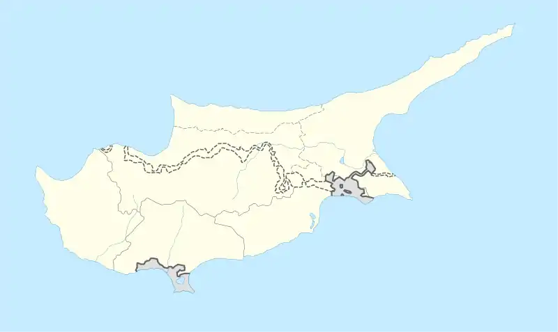
 Ayios Loukas Location in Cyprus | |
| Coordinates: 35°10′48″N 33°21′55″E / 35.18000°N 33.36528°E | |
| Country | |
| District | Nicosia District |
| Municipality | Nicosia |
| Population (2011)[1] | |
| • Total | 489 |
| Time zone | UTC+2 (EET) |
| • Summer (DST) | UTC+3 (EEST) |
Ayios Loukas (St. Luke) is a Neighbourhood, Quarter, Mahalla or Parish of Nicosia, Cyprus[2][3] and the parish church thereof. The church was dedicated to and named after St. Luke the Apostle and the parish or neighbourhood was named after the church. It is Άγιος Λουκάς in Greek and Ayluka or the new name Ayyıldız (Neighbourhood only[4]) in Turkish.
At the last Census (2011) it had a population of 489.[1]
The population in 1946 was 806,[5] consisting of 263 Greek Cypriots, 536 Turkish Cypriots and 7 others.
Many Greek Cypriots formerly lived in this Neighbourhood around the church of Ayios Loukas, until the first inter-communal clashes in Nicosia in 1956. Each year, 18 October was the day of festivity in the name of St.Luke and the parishioners staged what was the most famous fair (Panayiri) within the walls of Nicosia. A four-day and four-night fair was organised annually in honour of St. Luke, during which local products and seasonal fresh fruits and dried fruits, almonds and walnuts were sold, together with shamishi and Loukoumades, etc. However, following the 1956 EOKA and later TMT activities, the Greek Cypriot inhabitants of the Ayios Loukas neighbourhood were terrorised into leaving and also the church was evacuated.[2]
History
Ayios Loukas is one of the 24 historic Neighbourhoods of Nicosia within the walls.[2] During the Ottoman period it was accounted as one of the Greek Orthodox Quarters of Nicosia.[7] However, all the adjacent Neighbourhoods, such as Yeni Jami and Ak Kavuk (Abu Kavuk), were overwhelmingly moslem in character. By 1946 the Greek Orthodox population had dropped to 33%.[5]
The population of Ayios Loukas during British rule in Cyprus was as follows:[8]
| Date | Population | % Greek Cyp. |
|---|---|---|
| 1891 | 283 | 85% |
| 1901 | 331 | 86% |
| 1911 | 369 | 88% |
| 1921 | 527 | 61% |
| 1931 | 619 | 58% |
| 1946 | 806 | 33% |
There was a minor change to the Neighbourhood boundaries in 1912. [9]
The church was built in 1758, in dressed limestone,[2] when Philotheos was Archbishop of Cyprus. This date appears in the list of Orthodox churches enumerated by Kyprianos in 1780.[10]

Church
The present building evidently occupies the site of a mediaeval church of which the north and west walls still exist. The north and west doorways are of mediaeval style.[11] The plan of the building is a double nave divided by a row of circular columns supporting pointed arches and cross vaulting, the north aisle is somewhat narrower than the south. The windows are square headed with corbel supports to the lintel. On the south side of the church is an unfinished cloister of the 18th century.
Before 1956, the church interior had an iconostasis which was a florid wood carving painted brown and, in the gynaiketis (women's gallery), there were a large collection of disused icons with the former Rood of the church dated 1692. Amongst these icons was a curious processional picture painted on both sides measuring about 75 cm. x 50 cm. and mounted on a pole. On one side was the Panayia, on the other a representation of the Crucifixion.[11]
The church remained in ruins after the parishioners were forced to leave the area, until it was restored in 1986 and it was allocated to the Turkish Cypriot Folklore Association (HASDER).[2]

The map shows the Neighbourhood or Quarter of Ayios Loukas, with the church centrally placed in its borders. Just outside the border to the west lies the mosque of Ak Kavuk or Abu Kavuk, in the adjacent Neighbourhood or Quarter of that name. To the north-east is the Loredano (Cevizli) Bastion, on the Venetian walls of Nicosia . Borders as at c. 1900.
References
- 1 2 Census organised by the Turkish Cypriots in the occupied area "Archived copy" (PDF). Archived from the original (PDF) on 6 November 2013. Retrieved 16 September 2014.
{{cite web}}: CS1 maint: archived copy as title (link) retrieved October 2013 - 1 2 3 4 5 Coexistence in the Disappeared Mixed Neighbourhoods of Nicosia by Ahmet An (Paper read at the conference: Nicosia: The Last Divided Capital in Europe, organized by the London Metropolitan University on 20th June 2011)
- ↑ 6th edition of the publication "Statistical Codes of Municipalities, Communities and Quarters of Cyprus" (publ. Statistical Service of Republic of Cyprus)
- ↑ "1960 Sonrası Lefkoşa Konut Alanlarının Gelişimi", by Hasan Zafersoy, pub. Near Eastern University, Nicosia 2011. Figure 12 "Old and new names of some neighbourhoods of the Ministry of Internal Affairs and Local Government Land Registry and Cadastral Authority".(page 51)
- 1 2 Census of Cyprus, 1946
- ↑ Mahallas,Nicosia Turkish Municipality http://www.lefkosabelediyesi.org/tr/index.php/lefkosa/resmi-kurumlar/muhtarl-klarretrieved%5B%5D Dec 2013
- ↑ See "Tragedy 1821 Continuation" by Theocharides and Andreev, in Greek, pub. Nicosia 1996. Quoting census of 1831
- ↑ See Census of Cyprus: 1891, 1901, 1911, 1921, 1931, 1946
- ↑ Cyprus Gazette, 6 Dec 1912, No. 11541
- ↑ "A history of the Orthodox church of Cyprus" by John Hackett, pub. Methuen & co.,London 1901 (p. 273)
- 1 2 "A Description of the Historic Monuments of Cyprus" by George Jeffery,Architect .Publ. Government Printing Office, Nicosia, 1918.