| Col de la Faucille | |
|---|---|
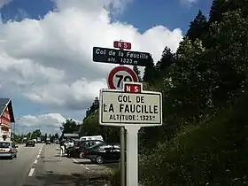 | |
| Elevation | 1,323 m (4,341 ft) |
| Location | Ain, France |
| Range | Jura Mountains |
| Coordinates | 46°22′N 06°02′E / 46.367°N 6.033°E |
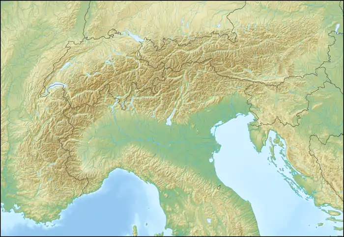 Location of Col de la Faucille | |
Col de la Faucille is a high mountain pass in the department of Ain in the French Jura Mountains. It connects the town of Gex in Ain to the towns of Les Rousses and Saint-Claude in the department of Jura.
The Tour de France has traversed this category 2 climb 41 times, starting in 1911 and most recently in 2004.
The area has become popular as a ski resort known as Mijoux – Col de la Faucille.
_-_Montrond_-_Faucille.JPG.webp)
The Mont Rond and the Col de la Faucille above the city of Gex in winter.
See also
External links
Wikimedia Commons has media related to Col de la Faucille.
This article is issued from Wikipedia. The text is licensed under Creative Commons - Attribution - Sharealike. Additional terms may apply for the media files.