Corrientes International Airport Aeropuerto Internacional de Corrientes – Doctor Fernando Piragine Niveyro | |||||||||||
|---|---|---|---|---|---|---|---|---|---|---|---|
| Summary | |||||||||||
| Airport type | Public and Military | ||||||||||
| Operator | Government | ||||||||||
| Serves | Corrientes, Corrientes Province, Argentina | ||||||||||
| Location | Ruta N12, Km 1007, Corrientes (W3400) | ||||||||||
| Elevation AMSL | 62 m / 203 ft | ||||||||||
| Coordinates | 27°26′57″S 058°45′31″W / 27.44917°S 58.75861°W | ||||||||||
| Map | |||||||||||
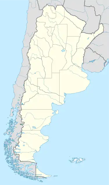
 CNQ Location of the airport in Argentina | |||||||||||
| Runways | |||||||||||
| |||||||||||
| Statistics (2016) | |||||||||||
| |||||||||||
Corrientes International Airport (IATA: CNQ, ICAO: SARC) (Spanish: Aeropuerto Internacional de Corrientes), also known as Doctor Fernando Piragine Niveyro International Airport (Spanish: Aeropuerto Internacional Doctor Fernando Piragine Niveyro and Cambá Punta) is an airport in Corrientes Province, Argentina, serving the city of Corrientes, built in 1961 while the terminal was completed in 1964. A new terminal and a new control tower were constructed between 2009 and 2011. The old buildings were demolished.
Between April 2014 and October 2015, Corrientes Airport was closed because of works on its runway. Flights were rescheduled to Resistencia International Airport, about 20 miles (32 km) to the west.
Airlines and destinations
| Airlines | Destinations |
|---|---|
| Aerolíneas Argentinas | Buenos Aires–Aeroparque |
| Flybondi | Buenos Aires–Aeroparque |
| JetSmart Argentina | Buenos Aires–Aeroparque |
References
- ↑ Airport Council International 2010 World Airport Traffic Report
External links
This article is issued from Wikipedia. The text is licensed under Creative Commons - Attribution - Sharealike. Additional terms may apply for the media files.