Dave
| |
|---|---|
 | |
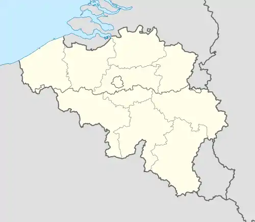
Location of Dave | |
.svg.png.webp) Location of Dave in Namur | |
 Dave 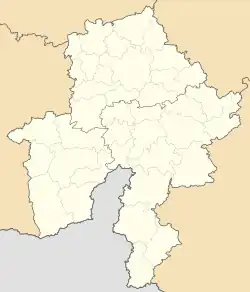 Dave | |
| Coordinates: 50°24′00″N 4°53′00″E / 50.40000°N 4.88333°E | |
| Country | |
| Community | |
| Region | |
| Province | |
| Arrondissement | Namur |
| Municipality | Namur |
| Area | |
| • Total | 11.28 km2 (4.36 sq mi) |
| Population (2020-01-01) | |
| • Total | 1,504 |
| • Density | 130/km2 (350/sq mi) |
| Postal codes | 5100 |
| Area codes | 081 |
Dave (French pronunciation: [dav]; Walloon: Dåve) is a sub-municipality of the city of Namur located in the province of Namur, Wallonia, Belgium. It was a separate municipality until 1977. On 1 January 1977, it was merged into Namur.[1]
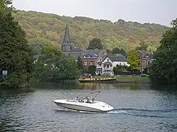
It is on the right bank of the Meuse, 7 km (4.3 mi) south of the city centre.

The Meuse and the 'Fernan Nunez' castle

Gate to the Fort of Dave
References
Wikimedia Commons has media related to Dave, Belgium.
This article is issued from Wikipedia. The text is licensed under Creative Commons - Attribution - Sharealike. Additional terms may apply for the media files.