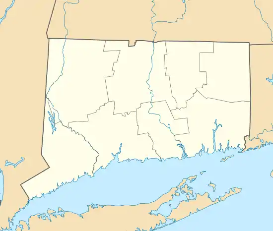
Dayville, Connecticut | |
|---|---|
 St. Joseph's Church | |
 Dayville  Dayville | |
| Coordinates: 41°50′45″N 71°53′16″W / 41.84583°N 71.88778°W | |
| Country | |
| State | Connecticut |
| County | Windham |
| Town | Killingly |
| Area | |
| • Total | 2.41 km2 (0.93 sq mi) |
| • Land | 2.41 km2 (0.93 sq mi) |
| • Water | 0.0 km2 (0.0 sq mi) |
| Elevation | 75 m (245 ft) |
| Time zone | UTC-5 (Eastern (EST)) |
| • Summer (DST) | UTC-4 (EDT) |
| ZIP Code | 06241 |
| Area code(s) | 860/959 |
| FIPS code | 09-18990 |
| GNIS feature ID | 2805988[2] |
Dayville is a census-designated place (CDP) in the northwest part of the town of Killingly in Windham County, Connecticut, United States. It is located on the east side of the Fivemile River, 5 miles (8 km) north of Danielson. Interstate 395 passes through the east side of the CDP, leading south to Norwich and north to Auburn, Massachusetts.
Dayville was first listed as a CDP prior to the 2020 census.[2]
The Dayville Historic District occupies 15 acres (6.1 ha) at the center of the village.
References
- ↑ "2020 U.S. Gazetteer Files – Connecticut". United States Census Bureau. Retrieved April 16, 2021.
- 1 2 3 "Dayville Census Designated Place". Geographic Names Information System. United States Geological Survey, United States Department of the Interior.
This article is issued from Wikipedia. The text is licensed under Creative Commons - Attribution - Sharealike. Additional terms may apply for the media files.
