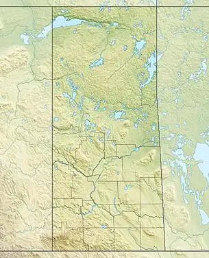
| Deschambault Lake | |
|---|---|
 Deschambault Lake Location in Saskatchewan  Deschambault Lake Deschambault Lake (Canada) | |
| Location | Northern Saskatchewan Administration District |
| Coordinates | 54°47′N 103°25′W / 54.783°N 103.417°W |
| Primary inflows |
|
| Primary outflows | Channel to Pelican Lake |
| Catchment area | 7,356 km2 (2,840 sq mi) |
| Basin countries | Canada |
| Surface area | 542 km2 (209 sq mi) |
| Average depth | 6.2 m (20 ft) |
| Max. depth | 22.4 m (73 ft) |
| Water volume | 3.35 km3 (2,720,000 acre⋅ft) |
| Residence time | 4.7 years |
| Shore length1 | 680 km (420 mi) |
| Surface elevation | 324 m (1,063 ft) |
| Frozen | October to May |
| Islands |
|
| Settlements | Deschambault Lake |
| References | [1] |
| 1 Shore length is not a well-defined measure. | |
Deschambault Lake[2] /dəˈʃæmboʊ/ is a freshwater lake in the north-eastern region of the Canadian province of Saskatchewan. The identically-named community of Deschambault Lake resides on its shore.
Deschambault Lake is a large lake divided into two sections by the Deschambault Channel.[3] The western section is known as Ballantyne Bay. While several rivers flow into the lake, Deschambault and Ballantyne Rivers are the primary inflows. Deschambault River begins at Wapawekka Lake and drains the nearby Wapawekka Hills. Ballantyne River begins at Big Sandy Lake and drains the Cub Hills.[4] Deschambault Lake and its catchment are part of the Sturgeon-Weir River drainage basin. The Sturgeon-Weir River is a tribuary of the Saskatchewan River.[5]
See also
References
- ↑ "World Lake Database (Deschambault Lake)". Archived from the original on 5 March 2016. Retrieved 21 February 2015.
- ↑ "Deschambault Lake". Canadian Geographical Names Database. Government of Canada. Retrieved 3 February 2023.
- ↑ "Deschambault Channel". Canadian Geographical Names Database. Government of Canada. Retrieved 3 February 2023.
- ↑ "Cub Hills, Saskatchewan, Canada". mindat. Retrieved 4 February 2023.
- ↑ "Deschambault Lake Fishing Map". GPS Nautical Charts. Bist LLC. Retrieved 7 February 2023.