
Duhabi, Sunsari Eastern Nepal
Duhabi
दुहवी | |
|---|---|
| Duhabi Municipality | |
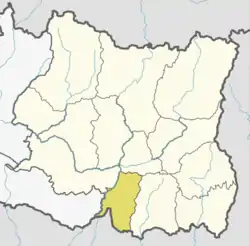
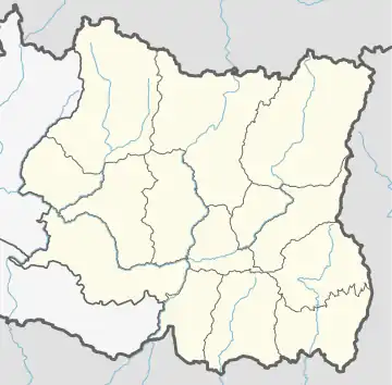 Duhabi Location of Duhabi 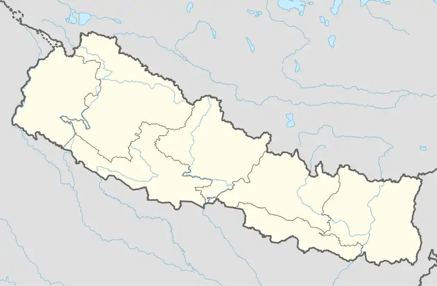 Duhabi Duhabi (Nepal) | |
| Coordinates: 26°35′N 87°17′E / 26.58°N 87.28°E | |
| Country | |
| province | Province No 1 |
| District | Sunsari District |
| Government | |
| • Type | Mayor–council government |
| • Mayor | Mr. Ved Kumar Gachhadar (NC) |
| • Deputy Mayor | Mrs. Sunita Dahal (Sah) (NC) |
| Area | |
| • Total | 76.67 km2 (29.60 sq mi) |
| Population (2022) | |
| • Total | 67,051 |
| • Density | 870/km2 (2,300/sq mi) |
| Time zone | UTC+5:45 (NST) |
| Postal code | 56707 |
| Area code | 025 |
| Highway | Koshi Highway |
| Website | official website |
Duhabi is a municipality in Sunsari District in the Koshi Zone of south-eastern Nepal. At the time of the 2001 Nepal census it had a population of 17,574.[1] Duhabi is situated in between Itahari and Biratnagar, on the bank of Budi River. It is the center of Sunsari–Morang industrial corridor.
References
- ↑ "Nepal Census 2001". Nepal's Village Development Committees. Digital Himalaya. Retrieved 2 December 2008.
Places adjacent to Duhabi Municipality | ||||||||||||||||
|---|---|---|---|---|---|---|---|---|---|---|---|---|---|---|---|---|
| ||||||||||||||||
This article is issued from Wikipedia. The text is licensed under Creative Commons - Attribution - Sharealike. Additional terms may apply for the media files.