Élancourt | |
|---|---|
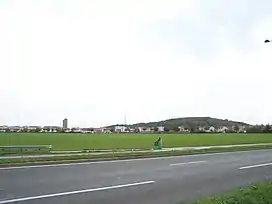 Neighbourhood of Clef de Saint-Pierre and Colline d'Élancourt | |
.svg.png.webp) Coat of arms | |
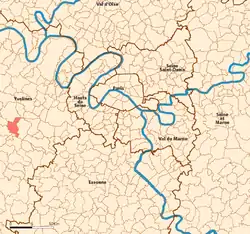 Location (in red) within Paris inner and outer suburbs | |
Location of Élancourt | |
 Élancourt 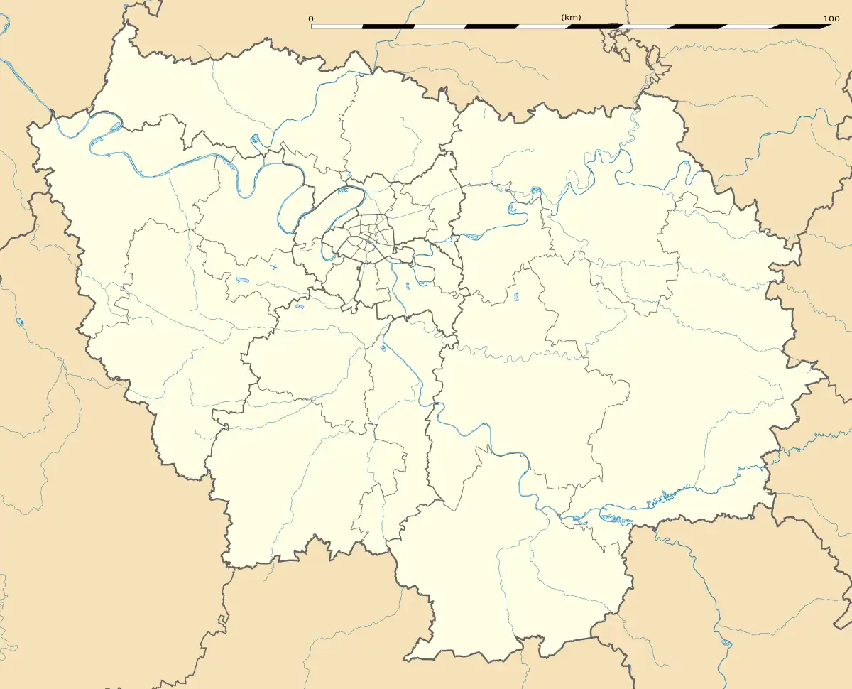 Élancourt | |
| Coordinates: 48°47′05″N 1°57′32″E / 48.7847°N 1.9589°E | |
| Country | France |
| Region | Île-de-France |
| Department | Yvelines |
| Arrondissement | Rambouillet |
| Canton | Trappes |
| Intercommunality | Saint-Quentin-en-Yvelines |
| Government | |
| • Mayor (2020–2026) | Jean-Michel Fourgous[1] |
| Area 1 | 8.51 km2 (3.29 sq mi) |
| Population | 26,082 |
| • Density | 3,100/km2 (7,900/sq mi) |
| Time zone | UTC+01:00 (CET) |
| • Summer (DST) | UTC+02:00 (CEST) |
| INSEE/Postal code | 78208 /78990 |
| Elevation | 100–175 m (328–574 ft) |
| 1 French Land Register data, which excludes lakes, ponds, glaciers > 1 km2 (0.386 sq mi or 247 acres) and river estuaries. | |
Élancourt (French pronunciation: [elɑ̃kuʁ] ⓘ) is a commune in the Yvelines department, and the Île-de-France region, north central France. It is located in the western suburbs of Paris, 30.6 km (19.0 mi) from the center of Paris, in the "new town" of Saint-Quentin-en-Yvelines.
Transport
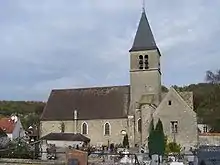
Élancourt is not linked directly to the Paris Métro, RER, or suburban rail network. The closest station to Élancourt is La Verrière station on the Transilien La Défense and Transilien Paris-Montparnasse suburban rail lines. This station is located in the neighbouring commune of La Verrière, 1.4 km (0.9 mi) from the town center of Élancourt.
Population
|
| ||||||||||||||||||||||||||||||||||||||||||||||||||||||||||||||||||||||||||||||||||||||||||||||||||||||||||||||||||
| Source: EHESS[3] and INSEE (1968-2017)[4] | |||||||||||||||||||||||||||||||||||||||||||||||||||||||||||||||||||||||||||||||||||||||||||||||||||||||||||||||||||
Tourism
France Miniature is a tourist attraction in Élancourt featuring scale models of major French landmarks and monuments in an outdoor park.
Education
The commune has 13 preschools and 10 elementary schools.[5]
Public junior high schools in Élancourt:[6]
- Collège de l’Agiot
- Collège de la Clef de Saint-Pierre
- Collège Louis Pergaud
In addition the community is served by Collège Alexandre Dumas and two public senior high schools/sixth form colleges, Lycée Dumont d’Urville and Lycée Polyvalent des 7 Mares, all in nearby Maurepas.[6]
Versailles Saint-Quentin-en-Yvelines University provides tertiary educational services in the area.[7]
Twin towns – sister cities
 Laubach, Germany, since 1975
 Cassina de' Pecchi, Italy, since 1997
 Gräfenhainichen, Germany, since 2003
 Attard, Malta
See also
References
- ↑ "Répertoire national des élus: les maires" (in French). data.gouv.fr, Plateforme ouverte des données publiques françaises. 13 September 2022.
- ↑ "Populations légales 2021". The National Institute of Statistics and Economic Studies. 28 December 2023.
- ↑ Des villages de Cassini aux communes d'aujourd'hui: Commune data sheet Élancourt, EHESS (in French).
- ↑ Population en historique depuis 1968, INSEE
- ↑ "Les groupes scolaires." Élancourt. Retrieved on September 3, 2016.
- 1 2 "Collèges et Lycées." Élancourt. Retrieved on September 3, 2016.
- ↑ "L’Université." Élancourt. Retrieved on September 3, 2016.
- ↑ "Jumelages". elancourt.fr (in French). Élancourt. Retrieved 2019-11-21.
External links

_pictogram.svg.png.webp)