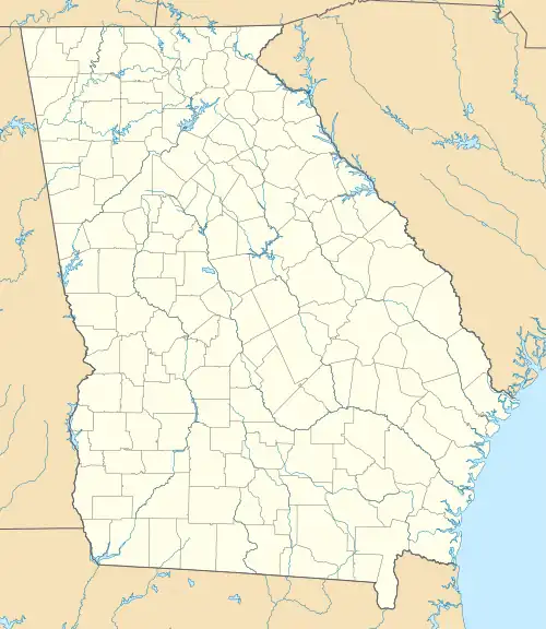
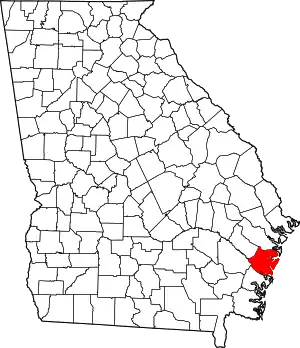
Eulonia, Georgia | |
|---|---|
 The main intersection | |
 Eulonia  Eulonia | |
| Coordinates: 31°31′59″N 81°25′37″W / 31.53306°N 81.42694°W | |
| Country | United States |
| State | Georgia |
| County | McIntosh |
| Area | |
| • Total | 3.28 sq mi (8.5 km2) |
| • Land | 3.23 sq mi (8.4 km2) |
| • Water | 0.05 sq mi (0.1 km2) |
| Elevation | 16 ft (5 m) |
| Population | |
| • Total | 351 |
| • Density | 108.7/sq mi (42.0/km2) |
| Time zone | UTC-5 (Eastern (EST)) |
| • Summer (DST) | UTC-4 (EDT) |
| ZIP code | 31331 (Townsend) |
| FIPS code | 13-28016 |
Eulonia is an unincorporated community and census-designated place (CDP) in McIntosh County in the U.S. state of Georgia. Part of the Brunswick, Georgia Metropolitan Statistical Area, it is in the Low Country between Savannah and Brunswick near Interstate 95.[3]
It was first listed as a CDP in the 2020 census with a population of 351.[2]
Geography
Eulonia is in central McIntosh, with the CDP centered around the intersection of U.S. Route 17 and Georgia State Route 99. The historic community of Eulonia is 0.6 miles (1.0 km) north of the crossroads. US 17 leads south 11 miles (18 km) to Darien, the county seat, and north 15 miles (24 km) to Riceboro. SR 99 leads east 4 miles (6 km) to Crescent and west 1 mile (1.6 km) to Interstate 95 at Exit 58. I-95, which forms the western edge of the Eulonia CDP, leads north 52 miles (84 km) to Savannah and south 28 miles (45 km) to Brunswick.
According to the U.S. Census Bureau, the Eulonia CDP has a total area of 3.3 square miles (8.5 km2), of which 0.05 square miles (0.13 km2), or 1.43%, are water.[1] The tidal Sapelo River forms the northern edge of the CDP and runs out to the Atlantic Ocean 15 miles (24 km) to the east at Sapelo Sound.
Demographics
| Census | Pop. | Note | %± |
|---|---|---|---|
| 2020 | 351 | — | |
| U.S. Decennial Census[4] 2020[5] | |||
| Race / Ethnicity | Pop 2020[5] | % 2020 |
|---|---|---|
| White alone (NH) | 115 | 32.76% |
| Black or African American alone (NH) | 218 | 62.11% |
| Native American or Alaska Native alone (NH) | 0 | 0.00% |
| Asian alone (NH) | 2 | 0.57% |
| Pacific Islander alone (NH) | 0 | 0.00% |
| Some Other Race alone (NH) | 1 | 0.28% |
| Mixed Race/Multi-Racial (NH) | 3 | 0.85% |
| Hispanic or Latino (any race) | 12 | 3.42% |
| Total | 351 | 100.00% |
In 2020, its population was 351.
References
- 1 2 "2022 U.S. Gazetteer Files: Georgia". United States Census Bureau. Retrieved January 24, 2023.
- 1 2 "P1. Race – Eulonia CDP, Georgia: 2020 DEC Redistricting Data (PL 94-171)". U.S. Census Bureau. Retrieved January 24, 2023.
- ↑ "US Gazetteer files: 2010, 2000, and 1990". United States Census Bureau. 2011-02-12. Retrieved 2011-04-23.
- ↑ "Decennial Census of Population and Housing by Decades". US Census Bureau.
- 1 2 "P2 HISPANIC OR LATINO, AND NOT HISPANIC OR LATINO BY RACE – 2020: DEC Redistricting Data (PL 94-171) – Eulonia CDP, Georgia". United States Census Bureau.


