Friedersdorf | |
|---|---|
 Coat of arms | |
Location of Friedersdorf | |
 Friedersdorf 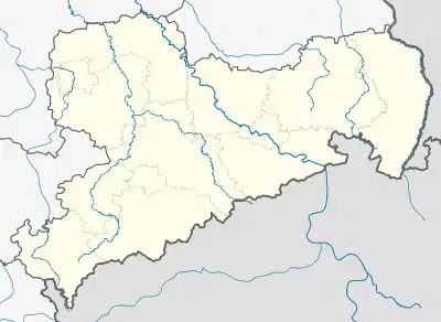 Friedersdorf | |
| Coordinates: 51°1′31″N 14°33′37″E / 51.02528°N 14.56028°E | |
| Country | Germany |
| State | Saxony |
| District | Löbau-Zittau |
| Town | Neusalza-Spremberg |
| Subdivisions | 2 |
| Area | |
| • Total | 10.89 km2 (4.20 sq mi) |
| Elevation | 379 m (1,243 ft) |
| Population (2006-12-31) | |
| • Total | 1,433 |
| • Density | 130/km2 (340/sq mi) |
| Time zone | UTC+01:00 (CET) |
| • Summer (DST) | UTC+02:00 (CEST) |
| Postal codes | 02742 |
| Dialling codes | 035872 |
| Vehicle registration | ZI |
| Website | www.friedersdorf-oberlausitz.de |
Friedersdorf is a former municipality in the district Löbau-Zittau, in Saxony, Germany. Since January 2008, it is part of the town Neusalza-Spremberg.
This article is issued from Wikipedia. The text is licensed under Creative Commons - Attribution - Sharealike. Additional terms may apply for the media files.