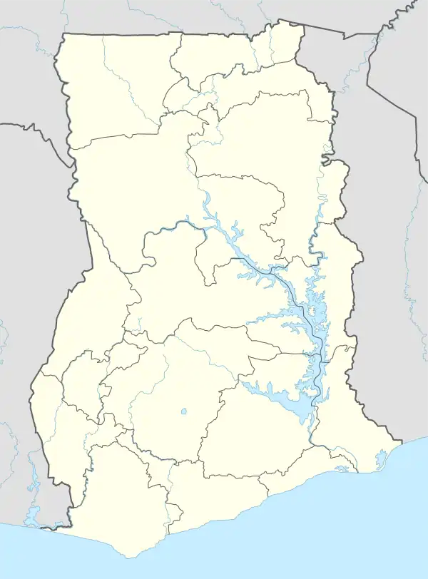
Ga Central Municipal District | |
|---|---|
Municipal District | |
.svg.png.webp) Districts of Greater Accra Region | |
 Ga Central Municipal District Location of Ga Central Municipal District within Greater Accra | |
| Coordinates: 5°37′26″N 0°16′44″W / 5.62389°N 0.27889°W | |
| Country | |
| Region | |
| Capital | Sowutuom |
| Area | |
| • Total | 48.997 km2 (18.918 sq mi) |
| Population (2021) | |
| • Total | 332,232[1] |
| Time zone | UTC+0 (GMT) |
| ISO 3166 code | GH-AA-GC |
Ga Central Municipal District is one of the twenty-nine districts in Greater Accra Region, Ghana.[2] Originally it was formerly part of the then-larger Ga South Municipal District on 29 February 2008, until a small portion of the district was split off to create Ga Central Municipal District on 28 June 2012; thus the remaining part has been retained as Ga South Municipal District (currently known as Weija-Gbawe Municipal District). The municipality is located in the western part of Greater Accra Region and has Sowutuom as its capital town.
Administration
The Assembly currently has nine electoral areas. It has a membership of sixteen comprising nine Elected Assembly Members, five Government Appointees, a Municipal Chief Executive and one Member of Parliament. The Assembly has two Zonal Councils: namely Anyaa and Chantan Zonal Councils.
Geography
The district is bordered to the north and west by Ga West Municipal District, to the east by Accra Metropolis District, and to the south by Ga South Municipal District. The total area of the district is 48.997 square kilometers.
Population
According to the 2010 census, the population of the district is 117,220 with 57,321 males and 59,899 females.[3] The current population based Ghana Statistical Service record is 144,521.[4]
References
- ↑ Ghana: Administrative Division
- ↑ "Archived copy" (PDF). Archived from the original (PDF) on 2013-10-17. Retrieved 2013-10-17.
{{cite web}}: CS1 maint: archived copy as title (link) - ↑ "District Analytical Report - Ga Central Municipality" (PDF). Ghana Statistical Service. Archived from the original (PDF) on 5 March 2016. Retrieved 22 December 2017.
- ↑ "Ghana Statistical Services". www.statsghana.gov.gh. Retrieved 2020-05-27.
5°37′26″N 0°16′44″W / 5.62389°N 0.27889°W