| Guiers | |
|---|---|
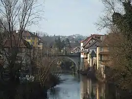
 The Guiers in Le Pont-de-Beauvoisin | |
  | |
| Location | |
| Country | France |
| Physical characteristics | |
| Mouth | Rhône |
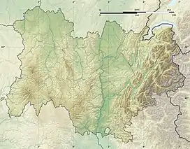
• coordinates | 45°36′45″N 5°37′18″E / 45.6126°N 5.6218°E |
| Length | 49.9 km (31.0 mi) |
| Basin features | |
| Progression | Rhône→ Mediterranean Sea |
| Tributaries | |
| • left | Ainan |
| • right | Thiers, Guiers Vif |
The Guiers (French pronunciation: [ɡje]) is a river in the Isère and Savoie departments of eastern France. It is 49.9 km (31.0 mi) long.[1] It rises in the Chartreuse Mountains. The part upstream from the confluence with the Guiers Vif (literally Live Guiers) is also called Guiers Mort (literally Dead Guiers).
References
This article is issued from Wikipedia. The text is licensed under Creative Commons - Attribution - Sharealike. Additional terms may apply for the media files.