Hammerbrücke | |
|---|---|
 Coat of arms | |
Location of Hammerbrücke | |
 Hammerbrücke 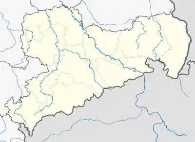 Hammerbrücke | |
| Coordinates: 50°26′10″N 12°24′50″E / 50.43611°N 12.41389°E | |
| Country | Germany |
| State | Saxony |
| District | Vogtlandkreis |
| Municipality | Muldenhammer |
| Area | |
| • Total | 8.14 km2 (3.14 sq mi) |
| Elevation | 680 m (2,230 ft) |
| Population (2006-12-31) | |
| • Total | 1,369 |
| • Density | 170/km2 (440/sq mi) |
| Time zone | UTC+01:00 (CET) |
| • Summer (DST) | UTC+02:00 (CEST) |
| Postal codes | 08269 |
| Dialling codes | 037465 |
| Vehicle registration | V |
| Website | www.hammerbruecke.de |
Hammerbrücke is a village and a former municipality in the Vogtlandkreis district, in Saxony, Germany. Since 1 October 2009, it is part of the municipality Muldenhammer.
This article is issued from Wikipedia. The text is licensed under Creative Commons - Attribution - Sharealike. Additional terms may apply for the media files.