Hamouriyah
حمورية | |
|---|---|
Village | |
 Hamouriyah | |
| Coordinates: 33°31′39″N 36°23′13″E / 33.52750°N 36.38694°E | |
| Country | |
| Governorate | Rif Dimashq |
| District | Markaz Rif Dimashq |
| Subdistrict | Kafr Batna |
| Population (2004) | |
| • Total | 13 760 |
| Time zone | UTC+2 (EET) |
| • Summer (DST) | UTC+3 (EEST) |
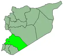
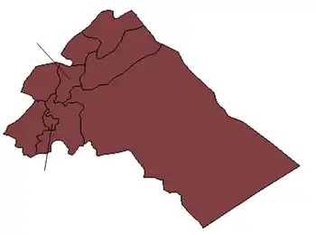
Hamouriyah (Arabic: حمورية), also spelled Hamoryah, Hamouria, Hammurah or Hammuriya, is a village in Syria. It is administratively a part of the Kafr Batna nahiyah, in the Markaz district of the Rif Dimashq Governorate. The town is located about 12 kilometers (7.5 mi) east of Damascus city center, within an area called the Eastern Ghouta. It is located 3 kilometers (1.9 mi) east of Zamalka.[1]
References
- ↑ "Hamouriyah - Wikimapia". Wikimapia.
This article is issued from Wikipedia. The text is licensed under Creative Commons - Attribution - Sharealike. Additional terms may apply for the media files.

