Hank | |
|---|---|
Village | |
 View on Hank | |
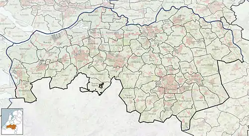
 Hank Location in the province of North Brabant in the Netherlands  Hank Hank (Netherlands) | |
| Coordinates: 51°44′N 4°54′E / 51.733°N 4.900°E | |
| Country | Netherlands |
| Province | North Brabant |
| Municipality | Altena |
| Area | |
| • Total | 24.60 km2 (9.50 sq mi) |
| Elevation | 0.4 m (1.3 ft) |
| Population (2021)[1] | |
| • Total | 4,330 |
| • Density | 180/km2 (460/sq mi) |
| Time zone | UTC+1 (CET) |
| • Summer (DST) | UTC+2 (CEST) |
| Postal code | 4273[1] |
| Dialing code | 0162 |
Hank is a village in the Dutch province of North Brabant. It is a part of the municipality of Altena, and lies about 10 km (6 mi) north of Oosterhout. Hanks borders on De Biesbosch National Park.[3]
It was first mentioned in 1851 as De Hank, and means "place where fishers dry their nets".[4]
The area was poldered in 1188 and a little village called Heeraartswaarde and church were built, however the settlement was destroyed in the St. Elizabeth's flood of 1421. In 1863, a Catholic parish was founded as Mariapolder, and in 1896 a convent of the Sisters of Charity was established near the village. The village was almost entirely destroyed in 1944 during World War II. Hank was rebuilt after the war.[3]
Gallery
 Catholic church
 Pond in Hank
 Cafeteria near the marina
 House in Hank
References
- 1 2 3 "Kerncijfers wijken en buurten 2021". Central Bureau of Statistics. Retrieved 14 April 2022.
- ↑ "Postcodetool for 4273BC". Actueel Hoogtebestand Nederland (in Dutch). Het Waterschapshuis. Retrieved 14 April 2022.
- 1 2 "Hank". Plaatsengids (in Dutch). Retrieved 14 April 2022.
- ↑ "Hank - (geografische naam)". Etymologiebank (in Dutch). Retrieved 14 April 2022.
Wikimedia Commons has media related to Hank (North Brabant).
This article is issued from Wikipedia. The text is licensed under Creative Commons - Attribution - Sharealike. Additional terms may apply for the media files.