Hamir Labidah
حيمر لابدة | |
|---|---|
Village | |
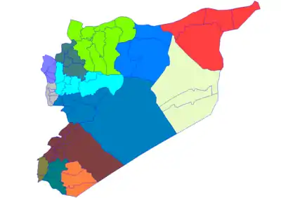
 Hamir Labidah Location of Hamir Labidah in Syria | |
| Coordinates: 36°23′20″N 37°58′36″E / 36.38882°N 37.97669°E | |
| Country | |
| Governorate | Aleppo |
| District | Manbij |
| Subdistrict | Abu Qilqil |
| Population (2004)[1] | 3,681 |
| Time zone | UTC+2 (EET) |
| • Summer (DST) | UTC+3 (EEST) |
Hamir Labidah (Arabic: حيمر لابدة), also spelled Haymar Labidah, Haymar Labdah or Himar Labda, is a village located 15 kilometers (9.3 mi) south of Manbij in northern Syria. In the 2004 census, it had a population of 3681.[1]
In July 2016, the village was under control of ISIL.[2] It was captured by SDF on 20 August 2016.[3]
References
- 1 2 "2004 Census Data for Nahiya Abu Qilqil" (in Arabic). Syrian Central Bureau of Statistics. Also available in English: UN OCHA. "2004 Census Data". Humanitarian Data Exchange.
- ↑ "عشرات القتلى والجرحى في قصف للطائرات الحربية الروسية والتحالف على إدلب وريف حلب" [Dozens of dead and wounded in bombing]. Egypttoday.co.uk (in Arabic). 20 July 2016. Archived from the original on 22 July 2016. Retrieved 16 August 2016.
- ↑ "SDF forces captured Hamir Labidah from ISIS". Islamic World Update. 20 August 2016.
#SDF forces captured Hamir Labidah from #ISIS/#Daesh militants south of #Manbij #Syria
This article is issued from Wikipedia. The text is licensed under Creative Commons - Attribution - Sharealike. Additional terms may apply for the media files.


