| Humberg | |
|---|---|
 View of Kaiserslautern from the Humberg Tower | |
| Highest point | |
| Elevation | 425 m above sea level (NN) (1,394 ft) |
| Coordinates | 49°24′48″N 7°46′03″E / 49.413332°N 7.767591°E |
| Geography | |
 Humberg | |
| Parent range | Pfälzerwald |
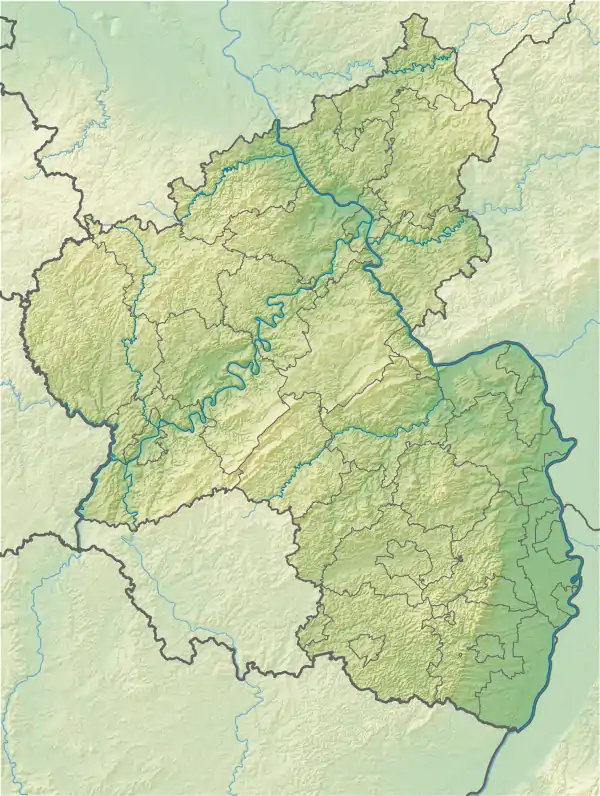
The Humberg is a mountain in the south of Kaiserslautern, Germany, that stands on the border of the Palatinate forest. With a height of 425 meters, it is the highest point in the area of Kaiserslautern. At its peak, the Humberg Tower (German: Humbergturm) provides a dramatic view of the area below.
This article is issued from Wikipedia. The text is licensed under Creative Commons - Attribution - Sharealike. Additional terms may apply for the media files.