Shilghati | |
|---|---|
Village | |
 Shilghati | |
| Coordinates: 23°31′16″N 91°24′25″E / 23.521°N 91.407°E | |
| Country | |
| State | Tripura |
| District | Gomati |
| Tehsil | Kakraban |
| Time zone | UTC+5:30 (IST) |
| Parliamentary constituency | Tripura West |
| Assembly constituency | Kakraban |
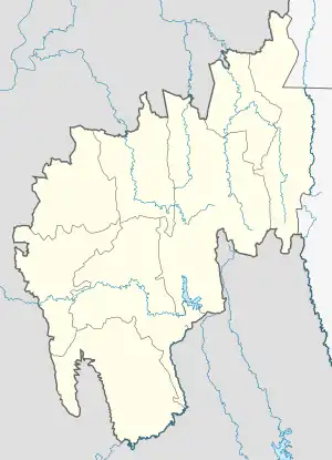
Shilghati (also spelled Silghati) is a panchayat village located in the Gomati district of Tripura state of India.[1] It is situated some 16 kilometers far from Udaipur, the nearest main town and lies on the banks of the river Gomati, which has its origin on the high altitudes of Boromura hill range.
Description

The people here mainly belong to the Tripuri Jamatia clan of Tripura who speak the language Kokborok (Tripuri),[2] the remainder are various Bengalis. It has a market located on the main-road linking Udaipur with Kakraban and Melaghar. It has lush green agriculture farms located around the settlements.
Amenities like school, post-office, telephones and electricity are available. Shilghati High School[3] located near the Shilghati Market has been serving as the source of education for the local people from many decades.
History
Prior to 2012, Shilghati was part of South Tripura district in Udaipur tehsil.
References
- ↑ 2011 Village Panchayat Code = 102308, "Reports of National Panchayat Directory: Village Panchayat Names of Kakraban, Gomati, Tripura". Ministry of Panchayati Raj, Government of India. Archived from the original on 8 November 2011.
- ↑ Mandal, D. B. (1993). "Mechanism of Social Control and Some Aspects of Customary Laws of Jamatia". In Singh, K. S. (ed.). Tribal Ethnography, Customary Law, and Change. New Delhi: Concept Publishing Company. pp. 139–146, page 140. ISBN 978-81-7022-471-6.
- ↑ Shilghati High School (Udaipur) :ECO-Club at tripura.nic.in