Jalatunda | |
|---|---|
| Coordinates: 7°29′13.5632″S 109°31′39.4446″E / 7.487100889°S 109.527623500°E | |
| Country | |
| Province | |
| District | Mandiraja |
| Area | |
| • Total | 684.66 ha (1,691.83 acres) |
| Population (Census 2020) | |
| • Total | 4,365 |
| • Density | 640/km2 (1,700/sq mi) |
| Time zone | UTC+7 (Indonesia Western Time) |
| Area code | 0286 |
| Licence plate | R |
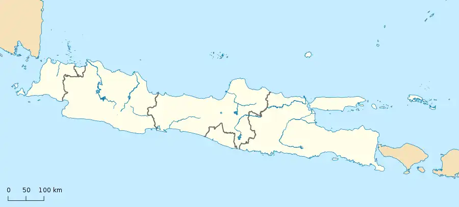
Jalatunda is a village in the town of Mandiraja, Banjarnegara Regency, Central Java Province, Indonesia.[1] This village has an area of 684.66 hectares and a population of 4,365 inhabitants in 2010.[2]
References
External links
This article is issued from Wikipedia. The text is licensed under Creative Commons - Attribution - Sharealike. Additional terms may apply for the media files.

