Kalipokhri | |
|---|---|
Village | |
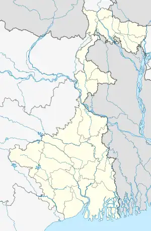 Kalipokhri Location in West Bengal, India  Kalipokhri Kalipokhri (India) | |
| Coordinates: 27°02′N 88°00′E / 27.04°N 88.00°E | |
| Country | |
| State | West Bengal |
| District | Darjeeling |
| Languages | |
| • Official | Bengali, English |
| Time zone | UTC+5:30 (IST) |
| ISO 3166 code | IN-WB |
Kala pokhri
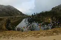
Kalipokhri (3186 m) is a small Himalayan village inside the Singalila National Park in the Darjeeling subdivision, Darjeeling district in the state of West Bengal, India. It lies on the trekking route from Mane Bhanjang to Sandakphu (the highest peak in West Bengal), and is roughly halfway between the steep final stretch of the trek from Gairibans to Sandakphu. The word, "Pokhri" means "lake" and "kala" means "dark" in Nepali, and the village is named after a local lake with dark waters or a lake whose water is dark in color. The lake is of extreme religious significance to the locals. Opposite the lake a border check post of Nepal Army is situated.
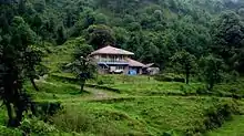
Gairibans, West Bengal, India
This article is issued from Wikipedia. The text is licensed under Creative Commons - Attribution - Sharealike. Additional terms may apply for the media files.