| Lake Khantayskoye | |
|---|---|
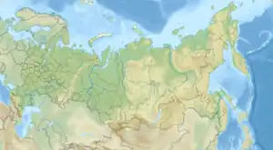 Lake Khantayskoye Location in Russia 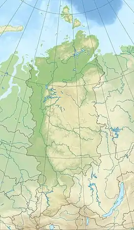 Lake Khantayskoye Lake Khantayskoye (Krasnoyarsk Krai) | |
| Coordinates | 68°20′N 91°00′E / 68.33°N 91°E |
| Catchment area | 11,984 km2 (4,627 sq mi) |
| Basin countries | Russia |
| Max. length | 80 km (50 mi) |
| Max. width | 25 km (16 mi) |
| Surface area | 822 km2 (317 sq mi) |
| Average depth | 74 m (243 ft) |
| Max. depth | 420 m (1,380 ft) |
| Water volume | 60 km3 (14 cu mi) |
| Shore length1 | 610 km (380 mi) |
| Surface elevation | 66 m (217 ft) |
| Frozen | october to june |
| Settlements | none |
| 1 Shore length is not a well-defined measure. | |
Lake Khantayskoye (Russian: Хантайское озеро) is a lake in Krasnoyarsk Krai, Russia.[1]
See also
References
- ↑ Хантайское озеро in the Great Soviet Encyclopedia, 1969–1978 (in Russian)
- ↑ Google Earth
This article is issued from Wikipedia. The text is licensed under Creative Commons - Attribution - Sharealike. Additional terms may apply for the media files.