Khoseda-Khardsky
Хоседа-Хардский | |
|---|---|
.png.webp) Flag | |
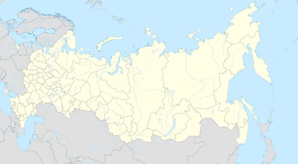
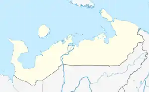
Location of Khoseda-Khardsky | |
 Khoseda-Khardsky Location of Khoseda-Khardsky  Khoseda-Khardsky Khoseda-Khardsky (Nenets Autonomous Okrug) | |
| Coordinates: 67°01′N 59°22′E / 67.017°N 59.367°E | |
| Country | Russia |
| Federal subject | Nenets Autonomous Okrug[1] |
| Population | |
| • Total | 538 |
| • Estimate (2018)[2] | 432 (−19.7%) |
| • Subordinated to | Zapolyarny District[1] |
| Time zone | UTC+3 (MSK |
| OKTMO ID | 11811473 |
Khoseda-Khardsky (Russian: Хоседа-Хардский), sometimes written as Khoseda-Khard, Hoseda-Hardsky, or Hoseda-Hard is a rural locality in Zapolyarny District, Nenets Autonomous Okrug, Russia. Its center is the village (selo) of Kharuta.[4] Population: 538 (2010 Census);[1]
Transportation
Khoseda-Khardsky is served by the Kharuta Airport.[5]
Climate
Khoseda-Khardsky has a subarctic climate (Köppen climate classification Dfc). Winters are severely cold with average temperatures from −24.5 °C (−12 °F) to −15.4 °C (4 °F) in January, while summers are mild with average temperatures from 7.3 °C (45 °F) to 19.0 °C (66 °F). Precipitation is moderate, and is somewhat higher from July to October than at other times of the year.
| Climate data for Khoseda-Khardsky | |||||||||||||
|---|---|---|---|---|---|---|---|---|---|---|---|---|---|
| Month | Jan | Feb | Mar | Apr | May | Jun | Jul | Aug | Sep | Oct | Nov | Dec | Year |
| Record high °C (°F) | 2.2 (36.0) |
2.6 (36.7) |
9.3 (48.7) |
16.8 (62.2) |
29.4 (84.9) |
32.5 (90.5) |
34.3 (93.7) |
30.8 (87.4) |
24.8 (76.6) |
17.0 (62.6) |
8.0 (46.4) |
3.5 (38.3) |
34.3 (93.7) |
| Mean maximum °C (°F) | −2.1 (28.2) |
−2.7 (27.1) |
1.9 (35.4) |
6.8 (44.2) |
16.5 (61.7) |
27.2 (81.0) |
29.4 (84.9) |
23.9 (75.0) |
17.8 (64.0) |
7.9 (46.2) |
1.4 (34.5) |
−0.3 (31.5) |
29.9 (85.8) |
| Mean daily maximum °C (°F) | −15.4 (4.3) |
−15.2 (4.6) |
−9.6 (14.7) |
−3.1 (26.4) |
3.6 (38.5) |
13.8 (56.8) |
19.0 (66.2) |
15.2 (59.4) |
8.7 (47.7) |
−0.6 (30.9) |
−8.2 (17.2) |
−12.5 (9.5) |
−0.4 (31.3) |
| Daily mean °C (°F) | −19.7 (−3.5) |
−19.3 (−2.7) |
−14.6 (5.7) |
−8.1 (17.4) |
−0.7 (30.7) |
8.2 (46.8) |
13.0 (55.4) |
10.2 (50.4) |
4.8 (40.6) |
−3.4 (25.9) |
−11.8 (10.8) |
−16.5 (2.3) |
−4.8 (23.3) |
| Mean daily minimum °C (°F) | −24.5 (−12.1) |
−24.0 (−11.2) |
−19.7 (−3.5) |
−13.0 (8.6) |
−4.6 (23.7) |
3.1 (37.6) |
7.3 (45.1) |
5.5 (41.9) |
1.5 (34.7) |
−6.5 (20.3) |
−15.9 (3.4) |
−21.0 (−5.8) |
−9.3 (15.2) |
| Mean minimum °C (°F) | −40.7 (−41.3) |
−41.0 (−41.8) |
−36.4 (−33.5) |
−29.9 (−21.8) |
−15.0 (5.0) |
−2.8 (27.0) |
0.9 (33.6) |
−1.8 (28.8) |
−6.9 (19.6) |
−18.6 (−1.5) |
−32.9 (−27.2) |
−40.1 (−40.2) |
−45.4 (−49.7) |
| Record low °C (°F) | −52.0 (−61.6) |
−56.4 (−69.5) |
−47.9 (−54.2) |
−40.2 (−40.4) |
−27 (−17) |
−8.1 (17.4) |
−3.3 (26.1) |
−8.0 (17.6) |
−11.7 (10.9) |
−35.5 (−31.9) |
−44.6 (−48.3) |
−51.1 (−60.0) |
−56.4 (−69.5) |
| Average precipitation mm (inches) | 26.8 (1.06) |
21.8 (0.86) |
19.9 (0.78) |
20.1 (0.79) |
30.6 (1.20) |
40.9 (1.61) |
55.5 (2.19) |
60.5 (2.38) |
56.0 (2.20) |
48.1 (1.89) |
32.7 (1.29) |
28.5 (1.12) |
441.4 (17.37) |
| Average precipitation days | 17.6 | 13.1 | 16.2 | 14.2 | 11.8 | 12.8 | 9.4 | 14.6 | 16.1 | 22.8 | 17.3 | 16.8 | 182.7 |
| Average relative humidity (%) | 84.0 | 81.9 | 83.5 | 82.9 | 79.4 | 75.8 | 74.8 | 83.1 | 87.7 | 92.9 | 87.3 | 84.7 | 83.2 |
| Mean monthly sunshine hours | 7 | 49 | 126 | 205 | 193 | 256 | 282 | 172 | 83 | 46 | 15 | 2 | 1,436 |
| Source 1: climatebase.ru (1936-2008)[6] Météo climat stats[7] Météo Climat [8] | |||||||||||||
| Source 2: NOAA (sun only, 1961-1990)[9] | |||||||||||||
References
- 1 2 3 4 5 Russian Federal State Statistics Service (2011). Всероссийская перепись населения 2010 года. Том 1 [2010 All-Russian Population Census, vol. 1]. Всероссийская перепись населения 2010 года [2010 All-Russia Population Census] (in Russian). Federal State Statistics Service.
- ↑ "26. Численность постоянного населения Российской Федерации по муниципальным образованиям на 1 января 2018 года". Federal State Statistics Service. Retrieved 23 January 2019.
- ↑ "Об исчислении времени". Официальный интернет-портал правовой информации (in Russian). 3 June 2011. Retrieved 19 January 2019.
- ↑ Norwegian Polar Institute - Settlements in Nenetsia
- ↑ "Kharuta Airport". OurAirports. Retrieved 22 January 2013.
- ↑ "Khosedakhard, Russia". Climatebase.ru. Retrieved 22 January 2013.
- ↑ "Moyennes 1981-2010 Russie" (in French). Retrieved 1 November 2019.
- ↑ "Météo Climat stats for Hoseda Hard". Météo Climat. Retrieved 8 November 2019.
- ↑ "Climate Normals for Hoseda–Hard". National Oceanic and Atmospheric Administration. Retrieved 22 January 2013.
This article is issued from Wikipedia. The text is licensed under Creative Commons - Attribution - Sharealike. Additional terms may apply for the media files.