 | |
| Geography | |
|---|---|
| Location | Lake Ladoga |
| Coordinates | 61°11′N 29°58′E / 61.183°N 29.967°E |
| Highest elevation | 60 m (200 ft) |
| Administration | |
Russia | |
| Republic | Karelia |
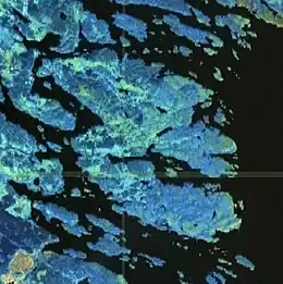
Kilpola (Finnish: Kilpolansaari) is an island 6 x 8 km among the skerries in the northwestern part of the Lake Ladoga, in Lakhdenpokhsky District of Republic of Karelia, connected to the mainland by a bridge. It is composed of granite hills rising up to about 60 m. above sea-level (55 m above the level of the lake) and covered by Scots Pine forest. There are several lakes on the island.
External links
- Map of Kilpola
- Map of Kilpola
- Saarnisto, Matti & Tuulikki Grönlund (1996). Shoreline displacement of Lake Ladoga - new data from Kilpolansaari. Hydrobiologia 322.1-3, 205–215.
This article is issued from Wikipedia. The text is licensed under Creative Commons - Attribution - Sharealike. Additional terms may apply for the media files.