Kingston, Arkansas | |
|---|---|
 Kingston Post Office | |
 Kingston  Kingston | |
| Coordinates: 36°03′07″N 93°30′55″W / 36.05194°N 93.51528°W | |
| Country | |
| State | |
| County | Madison |
| Area | |
| • Total | 1.60 sq mi (4.1 km2) |
| • Land | 1.59 sq mi (4.1 km2) |
| • Water | 0.013 sq mi (0.03 km2) |
| Elevation | 1,371 ft (418 m) |
| Population | |
| • Total | 97 |
| • Density | 61.0/sq mi (23.6/km2) |
| Time zone | UTC-6 (Central (CST)) |
| • Summer (DST) | UTC-5 (CDT) |
| ZIP Code | 72742 |
| GNIS feature ID | 2805657[2] |
| FIPS code | 05-36910 |
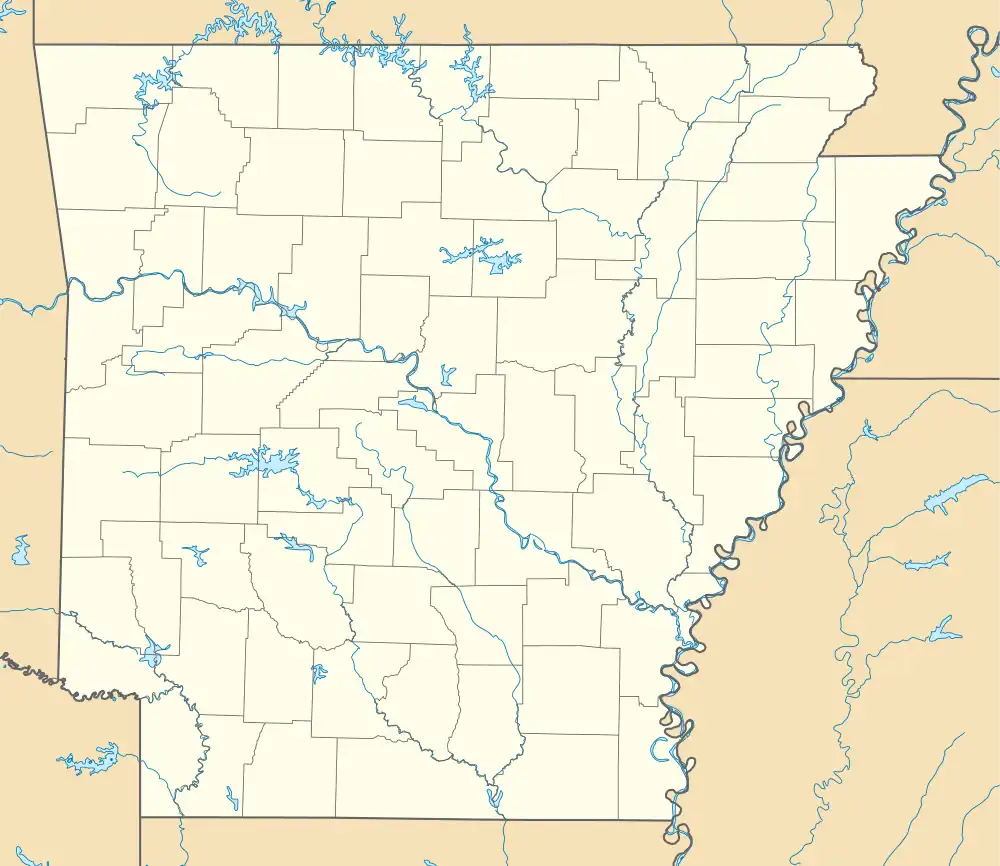
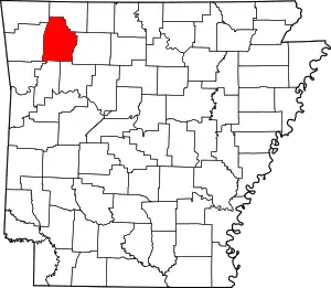
Kingston is an unincorporated community and census-designated place (CDP) in northeast Madison County, Arkansas, United States.[2] It was first listed as a CDP in the 2020 census with a population of 97.[3]
Kingston was platted in 1853 by King Johnson, and named for him.[4]
Geography
Kingston is located at the intersection of Arkansas highways 21 and 74.[5] It is 18 miles (29 km) east of Huntsville, the Madison county seat, by Highway 74, and 35 miles (56 km) southwest of Harrison. Kingston is located in the Kings River valley. The stream forms the western edge of the CDP and flows north to the White River in Missouri.[6]
Education
Public education for elementary and secondary school students is provided by the Jasper School District, which includes:
- Kingston Elementary School, serving kindergarten through grade 6.
- Kingston High School, serving grades 7 through 12.
On July 1, 2004, the Kingston School District, along with the Oark School District, merged into the Jasper district.[7]
Demographics
| Census | Pop. | Note | %± |
|---|---|---|---|
| 2020 | 97 | — | |
| U.S. Decennial Census[8] 2020[9] | |||
2020 census
| Race / Ethnicity | Pop 2020[9] | % 2020 |
|---|---|---|
| White alone (NH) | 81 | 83.51% |
| Black or African American alone (NH) | 0 | 0.00% |
| Native American or Alaska Native alone (NH) | 0 | 0.00% |
| Asian alone (NH) | 0 | 0.00% |
| Pacific Islander alone (NH) | 0 | 0.00% |
| Some Other Race alone (NH) | 0 | 0.00% |
| Mixed Race/Multi-Racial (NH) | 12 | 12.37% |
| Hispanic or Latino (any race) | 4 | 4.12% |
| Total | 97 | 100.00% |
References
- ↑ "2021 U.S. Gazetteer Files: Arkansas". United States Census Bureau. Retrieved May 27, 2022.
- 1 2 3 U.S. Geological Survey Geographic Names Information System: Kingston, Arkansas
- 1 2 "P1. Race – Kingston CDP, Arkansas: 2020 DEC Redistricting Data (PL 94-171)". U.S. Census Bureau. Retrieved May 27, 2022.
- ↑ History of Benton, Washington, Carroll, Madison, Crawford, Franklin, and Sebastian Counties, Arkansas. Higginson Book Company. 1889. p. 457.
- ↑ "Madison County, Arkansas." Arkansas State Highway and Transportation Department. AHTD Madison County map Archived 2016-10-11 at the Wayback Machine Retrieved on July 3, 2010.
- ↑ Arkansas Atlas & Gazetteer, DeLorme, 2004, 2nd edition, p. 23, ISBN 0-89933-345-1
- ↑ "ConsolidationAnnex_from_1983.xls." Arkansas Department of Education. Retrieved on May 23, 2018.
- ↑ "Decennial Census of Population and Housing by Decades". US Census Bureau.
- 1 2 "P2 HISPANIC OR LATINO, AND NOT HISPANIC OR LATINO BY RACE – 2020: DEC Redistricting Data (PL 94-171) – Kingston CDP, Arkansas". United States Census Bureau.
External links
![]() Media related to Kingston, Madison County, Arkansas at Wikimedia Commons
Media related to Kingston, Madison County, Arkansas at Wikimedia Commons
