| Aschaff | |
|---|---|
 The Aschaff in Aschaffenburg | |
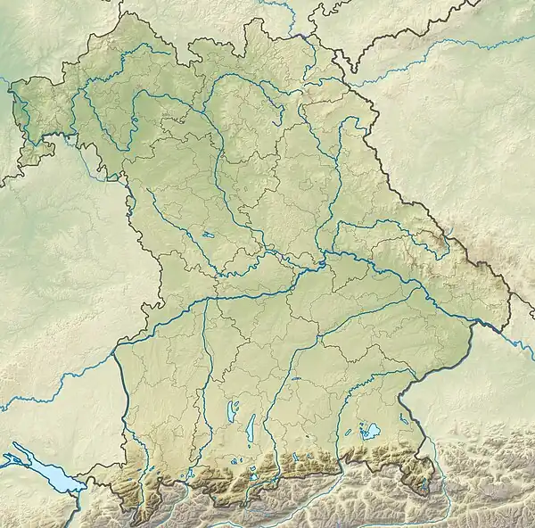
 Location of mouth in Bavaria | |
| Location | |
| Country | Germany |
| State | Bavaria |
| Reference no. | DE: 24754 |
| Physical characteristics | |
| Source | |
| • location | near Waldaschaff |
| • coordinates | 49°56′44″N 9°20′01″E / 49.9455°N 9.3337°E |
| Mouth | |
• location | near Mainaschaff in the Main |
• coordinates | 49°58′28″N 9°06′18″E / 49.974526°N 9.104887°E |
| Length | 22.4 km (13.9 mi) [1] |
| Basin size | 166.6 km2 (64.3 sq mi) [1] |
| Discharge | |
| • average | 1.35 m³/s |
| Basin features | |
| Progression | Main→ Rhine→ North Sea |
The Aschaff (in its uppermost course: Kleinaschaff) is a river in the northern Spessart in Bavaria, Germany.
It is a right tributary of the Main and is 22.4 km (13.9 mi) long. It begins at the Aschaffquelle near Waldaschaff. Loosely translated the name Aschaff means "ash water". The largest tributary is the Laufach. The river flows mostly parallel to the Bundesautobahn 3 (Motorway). For the construction of the noise barrier there, the river bed was moved and straightened.
Now the Aschaff flows in the city of Aschaffenburg. It flows through the districts Damm and Strietwald. In Mainaschaff near the city limits of Aschaffenburg the Aschaff empties into the Main.
Tributaries
Tributaries from source to mouth:
|
Left
|
Right
|
References
- 1 2 Complete table of the Bavarian Waterbody Register by the Bavarian State Office for the Environment (xls, 10.3 MB)
Wikimedia Commons has media related to Aschaff.
This article is issued from Wikipedia. The text is licensed under Creative Commons - Attribution - Sharealike. Additional terms may apply for the media files.