 | |
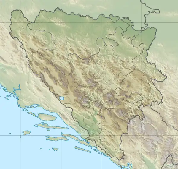 Location within Bosnia and Herzegovina | |
| Monastery information | |
|---|---|
| Order | Franciscan |
| Established | 14th century |
| Diocese | Roman Catholic Archdiocese of Vrhbosna |
| Architecture | |
| Heritage designation | |
| Official name | The architectural ensemble of the Franciscan monastery in Kreševo together with its movable property |
| Type | Category I cultural and historical property |
| Criteria | A, B, C i.ii.iii.iv.v.vi., D i.ii.iii.iv.v., E i.ii.iii.iv.v., F i.ii.iii., G i.ii.iii.iv.v.vi.vii., H i.iii., I i.ii.iii.iv. |
| Designated | 20 January 2004 (Sarajevo, - th session; decision No.06.1-2-41/03-3) |
| Reference no. | 327 |
| List of National Monuments of Bosnia and Herzegovina | |
| Site | |
| Location | Kraljeva Sutjeska, Kakanj |
Kraljeva Sutjeska is a Bosnian Franciscan monastery in Bosnia and Herzegovina. It is located near Kakanj, in the village of Kraljeva Sutjeska. The architectural ensemble of the Franciscan monastery in Kreševo together with its movable property is included into the list of National Monuments of Bosnia and Herzegovina by KONS, on 20 January 2004.[1]
It includes a museum in which it houses historical treasures, a library which keeps rare and valuable historical records. There are around 11,000 works in the library, including 31 incunabula and works in Bosnian Cyrillic. The earliest parish register is preserved since 1641. There are also a number of Ottoman Turkish documents.[2]
It also includes Grgurevo, a site where the kings' castle from 1330 along with his remains are located.
The historically important dwelling of Bosnian kings, Bobovac, is also a short distance from the castle remains and the monastery, as well as other sights of Kraljeva Sutjeska.

See also
References
- ↑ "Franciscan monastery and church of St John the Baptist in Kraljeva Sutjeska, the architectural ensemble". old.kons.gov.ba. Sarajevo: Commision to preserve national monuments. 20 January 2004. Retrieved 8 December 2023.
- ↑ "Archived copy". Archived from the original on 2012-03-19. Retrieved 2011-02-16.
{{cite web}}: CS1 maint: archived copy as title (link)
External links
44°07′02″N 18°12′20″E / 44.11722°N 18.20556°E