| Lac de Saint-Point | |
|---|---|
 | |
 Lac de Saint-Point | |
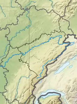
| Location | Doubs department, Franche-Comté |
| Coordinates | 46°48′55″N 6°18′50″E / 46.81528°N 6.31389°E |
| Lake type | Natural, Glacial |
| Primary inflows | Doubs |
| Primary outflows | Doubs |
| Basin countries | France |
| Max. length | 7.2 km (4.5 mi) |
| Max. width | 800 m (2,600 ft) |
| Surface area | 5.2 km2 (2.0 sq mi) |
| Max. depth | 43 m (141 ft) |
| Water volume | 81.6×10⁶ m3 (2.88×10⁹ cu ft) |
| Residence time | 200 days |
| Surface elevation | 850 m (2,790 ft) |
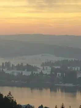
Lac de Saint-Point (French pronunciation: [lak də sɛ̃ pwɛ̃]; also Lac de Malbuisson) is a lake formed by the river Doubs near Pontarlier in the Doubs department of France. With a surface area of 5.2 km², it is one of the largest natural lakes of France.
See also
- www.malbuisson.fr - Official website of Malbuisson - For general information and tourism
- Saint-Point-Lac
Wikimedia Commons has media related to Lac de Saint-Point.
This article is issued from Wikipedia. The text is licensed under Creative Commons - Attribution - Sharealike. Additional terms may apply for the media files.