| Laguna Joyuda | |
|---|---|
 Laguna Joyuda | |
 Laguna Joyuda | |
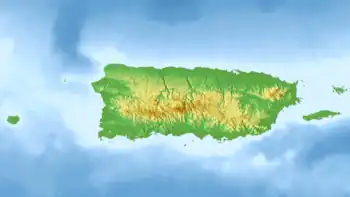
| Location | Cabo Rojo, Puerto Rico |
| Coordinates | 18°07′50″N 67°10′38″W / 18.13056°N 67.17722°W |
| Type | natural reservoir |
| Max. length | 2.4 km (1.5 mi) |
| Max. width | 1.0 km (0.62 mi) |
| Surface area | 1.37 km2 (0.53 sq mi) |
| Average depth | 1.2 m (3 ft 11 in) |
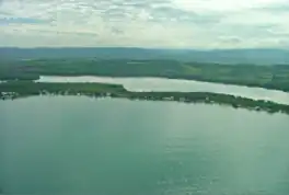
Laguna Joyuda, or Albufera de Joyuda,[1] is a natural reservoir located in the municipality of Cabo Rojo in Puerto Rico.
The lagoon is one of only two natural reservoirs in the island of Puerto Rico (the other being Tortuguero Lagoon), and is home to an ample variety of species.
The lagoon is connected to the ocean through a small channel on the south of it, and is frequently used for fishing.
Gallery
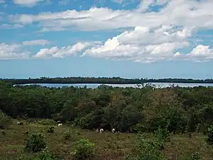
 View of the lagoon
See also
References
- ↑ Hill, Robert Thomas (1898). Cuba and Puerto Rico, with the Other Islands of the West Indies. New York: Century Company. p. 148.
This article is issued from Wikipedia. The text is licensed under Creative Commons - Attribution - Sharealike. Additional terms may apply for the media files.