| Lake Rotongaro | |
|---|---|
 Lake Rotongaro | |
| Location | North Island |
| Coordinates | 37°29′00″S 175°07′00″E / 37.48333°S 175.11667°E |
| Type | riverine |
| Primary outflows | Rotongaro Canal |
| Catchment area | 19.5 km2 (7.5 sq mi) |
| Basin countries | New Zealand |
| Max. length | 2.5 km (1.6 mi) |
| Max. width | 2.2 km (1.4 mi) |
| Surface area | 292 hectares (720 acres) (open water) |
| Max. depth | 3.3 metres (11 ft) |
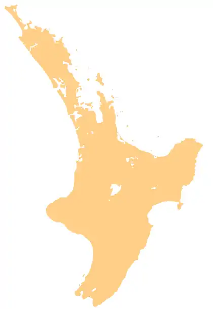
Lake Rotongaro is located to the west of Ohinewai in the Waikato Region of New Zealand. It is a large shallow riverine lake, which links to the Waikato River.[1] It is situated between the Waikato River and the larger Lake Whangape.
The lake was lowered by 2.33 ft (0.71 m) in 1925, by means of a 2.75 mi (4.43 km) x 18 ft (5.5 m) canal,[2] which drains into Lake Rotongaroiti, which then flows through the Rotongaro canal,[3] to drain into the Whangape Stream, just below Lake Whangape.[4]
The lake area is approximately 292 ha, with a max depth of 3.3 m. The catchment area is predominantly pastoral, with an estimated area of 1950 ha.[3]
Etymology
In Māori, rotongaro means "hidden lake" (roto = lake, ngaro = hidden).[5]
See also
References
- ↑ "Riverine lakes". Waikato Regional Council. Retrieved 25 December 2018.
- ↑ "RAGLAN COUNTY. Waikato Times". paperspast.natlib.govt.nz. 28 May 1925. Retrieved 2 August 2023.
- 1 2 "Waikato region shallow lakes management plan: Volume 2" (PDF). Waikato Regional Council.
- ↑ "Rotongaro Canal, Waikato". NZ Topo Map. Retrieved 2 August 2023.
- ↑ Reed, A.W. (1975). Place names of New Zealand. Wellington: A.H. & A.W. Reed. p. 365.
External links
This article is issued from Wikipedia. The text is licensed under Creative Commons - Attribution - Sharealike. Additional terms may apply for the media files.