| The Gargoyles | |
|---|---|
| Lava Peaks | |
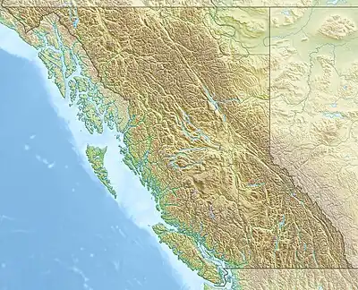 The Gargoyles Location in British Columbia | |
| Highest point | |
| Elevation | 1,823 m (5,981 ft) |
| Coordinates | 49°48′20″N 122°59′51″W / 49.80556°N 122.99750°W |
| Geography | |
| Country | Canada |
| Province | British Columbia |
| District | New Westminster Land District |
| Protected area | Garibaldi Provincial Park |
| Parent range | Garibaldi Ranges |
| Topo map | NTS 92G15 Mamquam Mountain |
The Gargoyles are two mountain peaks in the Garibaldi Ranges of the Pacific Ranges in southwestern British Columbia, Canada. The highest peak has an elevation of 1,823 m (5,981 ft) whereas the lowest peak has an elevation of 1,816 m (5,958 ft).[1] A deeply eroded obsidian dome remnant at The Gargoyles contains 77% silica content and is the only Quaternary high-silica rhyolite identified anywhere in the Cascade Volcanic Arc north of the Three Sisters. The age of this rhyolite is poorly known.[2]
The Gargoyles were originally mapped as the Lava Peaks by William Henry Mathews in 1958. The current name was suggested and adopted in 1978.[1] Another name applied to The Gargoyles is Lava Peak.[3]
References
- 1 2 "The Gargoyles". BC Geographical Names. Retrieved 2022-09-04.
- ↑ Hildreth, Wes (2007). Quaternary Magmatism in the Cascades—Geologic Perspectives. United States Geological Survey. pp. 11, 77, 90. ISBN 978-1-4113-1945-5.
- ↑ Wilson, A. M.; Russell, J. K. (2018), "Quaternary glaciovolcanism in the Canadian Cascade volcanic arc—Paleoenvironmental implications", Field Volcanology: A Tribute to the Distinguished Career of Don Swanson, Geological Society of America, doi:10.1130/2018.2538(06), ISBN 9780813725383, S2CID 210299534
External links
This article is issued from Wikipedia. The text is licensed under Creative Commons - Attribution - Sharealike. Additional terms may apply for the media files.